2015
TM0014 : Ray Island Nature Reserve
taken 10 years ago, near to West Mersea, Essex, England

Ray Island Nature Reserve
The nature reserve which is also an SSSI is run jointly by the national trust and Essex Wildlife. It is accessible by boat (recommended!) or by path (avoiding high tide) from The Strood. Prepare to get muddy. We passed several jellyfish on the path stranded by the earlier tide.
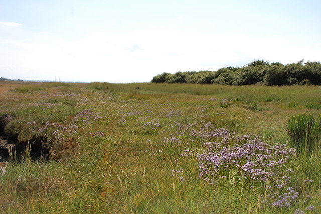
The Ray itself is an area of slightly higher, wooded ground to the right here. The reserve is an amazingly rich area of salt marsh.
For further information see contribution by Glyn Baker: TM0014 : Ray Island
The Ray itself is an area of slightly higher, wooded ground to the right here. The reserve is an amazingly rich area of salt marsh.
For further information see contribution by Glyn Baker: TM0014 : Ray Island