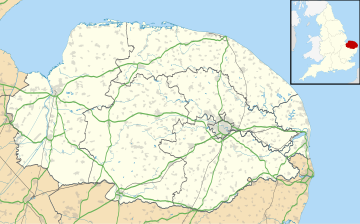
Raynham, Norfolk
Appearance
| Raynham | |
|---|---|
Location within Norfolk | |
| Area | 16.75 km2 (6.47 sq mi) |
| Population | 330 (2011)[1] |
| • Density | 20/km2 (52/sq mi) |
| OS grid reference | TF875245 |
| Civil parish |
|
| District | |
| Shire county | |
| Region | |
| Country | England |
| Sovereign state | United Kingdom |
| Post town | FAKENHAM |
| Postcode district | NR21 |
| Dialling code | 01328 |
| Police | Norfolk |
| Fire | Norfolk |
| Ambulance | East of England |
Raynham is a civil parish in the English county of Norfolk, consisting of the villages of South, East and West Raynham. It covers an area of 16.75 km2 (6.47 sq mi) and had a population of 257 in 113 households at the 2001 census,[2] increasing to 330 at the Census 2011. For the purposes of local government, it falls within the district of North Norfolk.
The name 'Raynham' means 'Regna's homestead/village' or 'Regna's hemmed-in land'.[3]
Governance
[edit]Raynham is part of the electoral ward called The Raynhams. This ward stretches north to Tattersett with a total population at the 2011 Census of 2,521.[4]
Notes
[edit]- ^ "Parish population 2011". Retrieved 3 September 2015.
- ^ Census population and household counts for unparished urban areas and all parishes Archived 2017-02-11 at the Wayback Machine. Office for National Statistics & Norfolk County Council (2001). Retrieved 20 June 2009.
- ^ "Key to English Place-names". The University of Nottingham. Retrieved 26 November 2023.
- ^ "The Raynhams ward population 2011". Retrieved 3 September 2015.
