Nutbush, Memphis
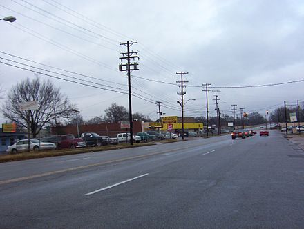
Nutbush is a long-standing neighborhood in northeastern Memphis, Tennessee, United States.
Geography
[edit]Nutbush is bordered by I-40 to the north; Wells Station to the east; Macon Avenue to the south, and Homer Street to the west. It is adjacent to the city's Kingsbury neighborhood.[1]
National Cemetery
[edit]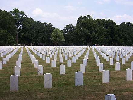
The Memphis National Cemetery is located in Nutbush, Memphis. On 44.2 acres (0.18 km2), the cemetery had 42,184 interments at the end of 2007.[2]
Several battlefield cemeteries from the American Civil War era were transferred to Memphis and many of the dead from the steamboat Sultana explosion on April 26, 1865 were buried in Memphis National Cemetery.
See also
[edit]References
[edit]- ^ "Nutbush, Memphis". Google Maps. Retrieved 2024-07-02.
- ^ "Memphis National Cemetery". Department of Veterans Affairs. Retrieved 2008-09-21.
35°10′15″N 89°56′38″W / 35.1707°N 89.9439°W


This Shelby County, Tennessee geography–related article is a stub. You can help Wikipedia by expanding it. |