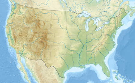
East Fork Salmon River
Appearance
| East Fork Salmon River | |
|---|---|
| Location | |
| Country | United States |
| State | Idaho |
| Region | Custer County |
| Physical characteristics | |
| Source | Boulder Mountains |
| • coordinates | 43°44′46″N 114°33′17″W / 43.74611°N 114.55472°W[1] |
| Mouth | Salmon River |
• coordinates | 44°16′06″N 114°19′36″W / 44.26833°N 114.32667°W[1] |
• elevation | 5,390 ft (1,640 m) |
| Length | 34 mi (55 km) |
| Basin size | 541 sq mi (1,400 km2)[2] |
The East Fork Salmon River is a 34-mile (55 km) tributary of the Salmon River, flowing through Custer County, Idaho in the United States. It joins the Salmon River about 3.7 miles (6.0 km) east of Clayton and 17 miles (27 km) south-southwest of Challis. The East Fork Salmon River is formed at the confluence of the West Fork East Fork Salmon River and the South Fork East Fork Salmon River between the Boulder and White Cloud mountains in Sawtooth National Recreation Area.[3]
See also
[edit]References
[edit]- ^ a b "East Fork Salmon River". Geographic Names Information System. United States Geological Survey, United States Department of the Interior. 1979-06-21. Retrieved November 17, 2014.
- ^ "USGS National Map Streamer". United States Geological Survey. Archived from the original on September 7, 2014. Retrieved November 17, 2014.
- ^ Sawtooth National Forest (Map) (1998 ed.). 1:126,720. Sawtooth National Forest, U.S. Forest Service.

