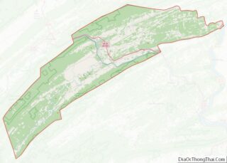
Juniata County is a county in the Commonwealth of Pennsylvania. As of the 2020 census, the population was 23,509. Its county seat is Mifflintown. The county was created on March 2, 1831, from part of Mifflin County and named for the Juniata River. Mountains in Juniata County include Tuscarora Mountain and Shade Mountain. Agricultural land ... Read more
Map of US Counties
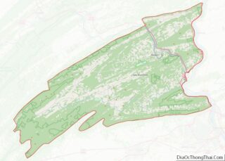
Perry County is a county in the Commonwealth of Pennsylvania. As of the 2020 census, the population was 45,842. The county seat is New Bloomfield. The county was created on March 22, 1820, and was named for Oliver Hazard Perry, a hero of the War of 1812, who had recently died. It was originally part ... Read more
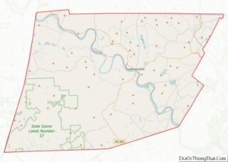
Wyoming County is a county in the Commonwealth of Pennsylvania. It is part of Northeastern Pennsylvania. As of the 2020 census, the population was 26,069. Its county seat is Tunkhannock. It was created in 1842 from part of Luzerne County. Wyoming County is included in the Scranton—Wilkes-Barre—Hazleton, PA Metropolitan Statistical Area. Wyoming County overview: Name: ... Read more
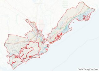
Charleston County is located in the U.S. state of South Carolina along the Atlantic coast. As of the 2020 census, its population was 408,235, making it the third most populous county in South Carolina (behind Greenville and Richland counties). Its county seat is Charleston. It is also the largest county in the state by land ... Read more
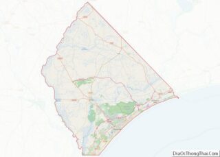
Horry County (/ˈɒriː/ OH-ree) is the easternmost county in the U.S. state of South Carolina. As of the 2020 census, its population was 351,029. It is the fourth-most populous county in South Carolina. The county seat is Conway. Horry County is the central county in the Myrtle Beach-Conway-North Myrtle Beach, SC-NC Metropolitan Statistical Area. It ... Read more
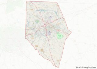
Spartanburg County is a county located on the northwestern border of the U.S. state of South Carolina. As of the 2020 census, the population was 327,997, making it the fifth-most populous county in South Carolina. Its county seat is Spartanburg. Spartanburg County is coterminous with the Spartanburg, SC Metropolitan Statistical Area, which is also included ... Read more
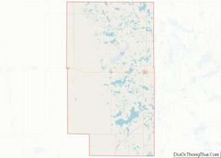
Clark County is a county in the U.S. state of South Dakota. As of the 2020 census, the population was 3,837. Its county seat is Clark. The county was created in 1873 and organized in 1881. It was named for Newton Clark, a Dakota Territory legislator in 1873. Clark County overview: Name: Clark County FIPS ... Read more
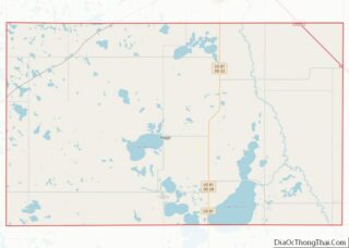
Hamlin County is a county in the U.S. state of South Dakota. As of the 2020 census, the population was 6,164. Its county seat is Hayti. The county was created in 1873 and organized in 1878. It was named for Hannibal Hamlin, Lincoln’s first vice-president. Hamlin County overview: Name: Hamlin County FIPS code: 46-057 State: ... Read more
McCook County is a county in the U.S. state of South Dakota. At the 2020 census, the population was 5,682. Its county seat is Salem. The county was established in 1873, and was organized in 1878. It was named for the former governor of the Dakota Territory and Civil War general Edwin Stanton McCook. McCook ... Read more
Todd County is a county in the U.S. state of South Dakota. As of the 2020 United States Census, the population was 9,319. Todd County does not have its own county seat. Instead, Winner in neighboring Tripp County serves as its administrative center. Its largest city is Mission. The county was created in 1909, although ... Read more
Carter County is a county located in the U.S. state of Tennessee. As of the 2020 census, the population was 56,356. Its county seat is Elizabethton. The county is named in honor of Landon Carter (1760-1800), an early settler active in the “Lost State of Franklin” 1784-1788 secession from the State of North Carolina. Carter ... Read more
Franklin County is a county in the U.S. state of Tennessee. It is located on the eastern boundary of Middle Tennessee in the southern part of the state. As of the 2020 census, the population was 42,774. Its county seat is Winchester. Franklin County is part of the Tullahoma–Manchester, TN Micropolitan Statistical Area. Franklin County ... Read more
