뉴저지 주 쿨리 코너
Cooleys Corner, New Jersey뉴저지 주 쿨리 코너 | |
|---|---|
 클라크스부르크와 임레이스타운 하이타운 도로의 옛 교차로 부지 | |
 뉴저지 주 쿨리 코너 몬머스 카운티 인셋의 쿨리 코너 위치: 뉴저지 주 내의 카운티 위치 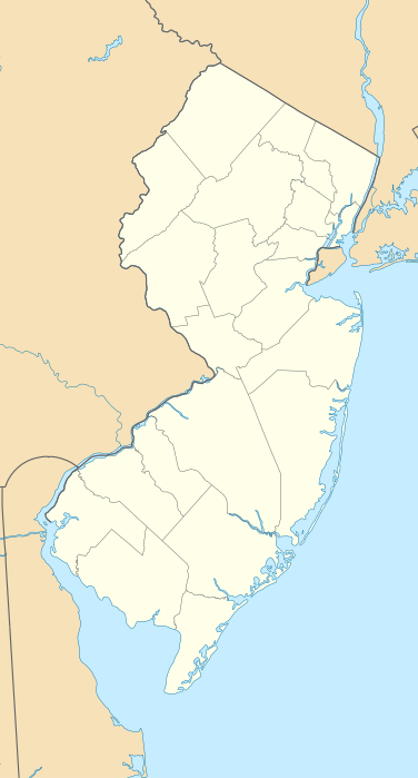 뉴저지 주 쿨리 코너 뉴저지 주 쿨리 코너(뉴저지 주)  뉴저지 주 쿨리 코너 뉴저지 주, 쿨리 코너(미국) | |
| 좌표: 40°12′53″N 74°30′59″w / 40.21472°N 74.51639°W좌표: 40°12′53″N 74°30′59″W / 40.21472°N 74.51639°W / | |
| 나라 | |
| 주 | |
| 카운티 | 몬머스 |
| 타운쉽 | 어퍼 프리홀드 |
| 표고 | 118피트(36m) |
| GNIS 피쳐 ID | 875624[1] |
쿨리 코너는 미국 뉴저지 주 몬머스 카운티의 어퍼 프리홀드 타운쉽 내에 위치한 비법인 커뮤니티다.[2] 정착지는 어순핑크 하천을 따라 몬마우스와 머서 카운티의 뉴저지 어류 및 야생동물 환경보호과 환경보호과인 어순핑크 야생동물 관리구역 내에 있다. 1970년대 어순핑크 호가 조성되기 전에는 클라크스부르크 로드와 임레이스타운 하이츠타운 로드의 교차점에 위치한 농경지로 구성되었다.[3][4] 일부 농지는 여전히 그 지역에 존재하지만 지금은 주로 사냥꾼들이 사용하고 있다. 어순핑크 호수로 가는 메인 보트 경사로가 옛 임레이스타운 하이츠타운 로드를 따라 위치해 있다.[5]
참조
- ^ a b "Cooleys Corner". Geographic Names Information System. United States Geological Survey.
- ^ 뉴저지 주, 지역성 검색. 2015년 2월 21일에 접속.
- ^ Denicola, Linda (August 2, 2001). "Fish are for the taking at three Assunpink lakes". Allentown Examiner. Archived from the original on March 4, 2016. Retrieved August 28, 2015.
The lakes are the products of the joint efforts of the U.S. Soil Conservation Service and the New Jersey Division of Fish and Wildlife as well as the New Jersey Green Acres Program. They were built around 1970 to provide flood protection for the Assunpink Creek, drainage, fish and wildlife habitats, and recreation.
- ^ "Aerial view of Cooleys Corner". Historic Aerials. 1970. Retrieved August 28, 2015.
- ^ Google (August 28, 2015). "Aerial view of Cooleys Corner" (Map). Google Maps. Google. Retrieved August 28, 2015.
