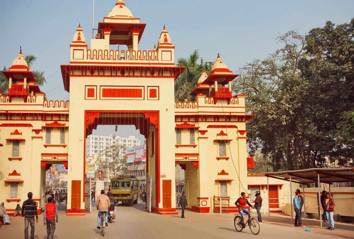
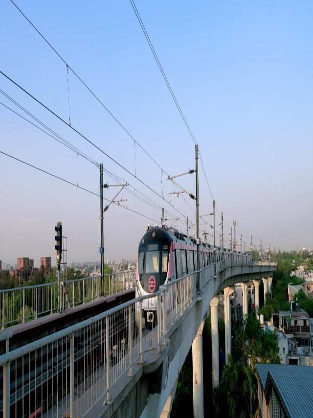
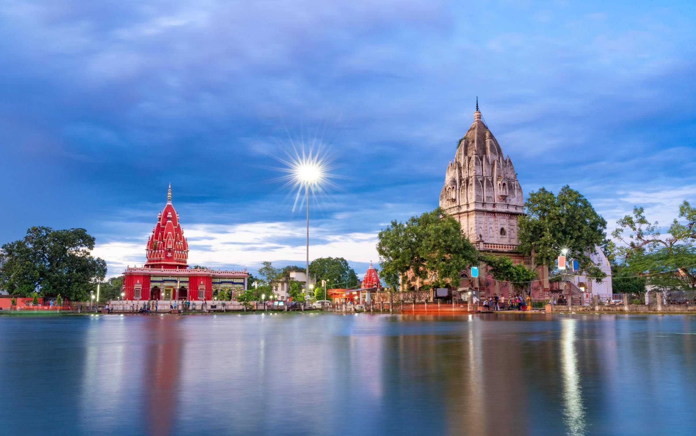
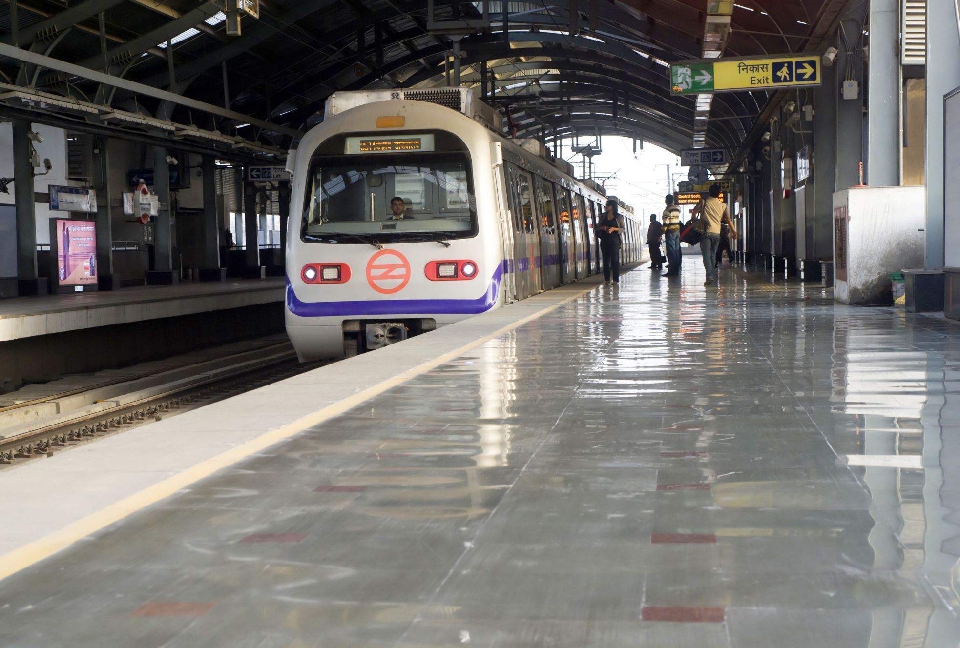
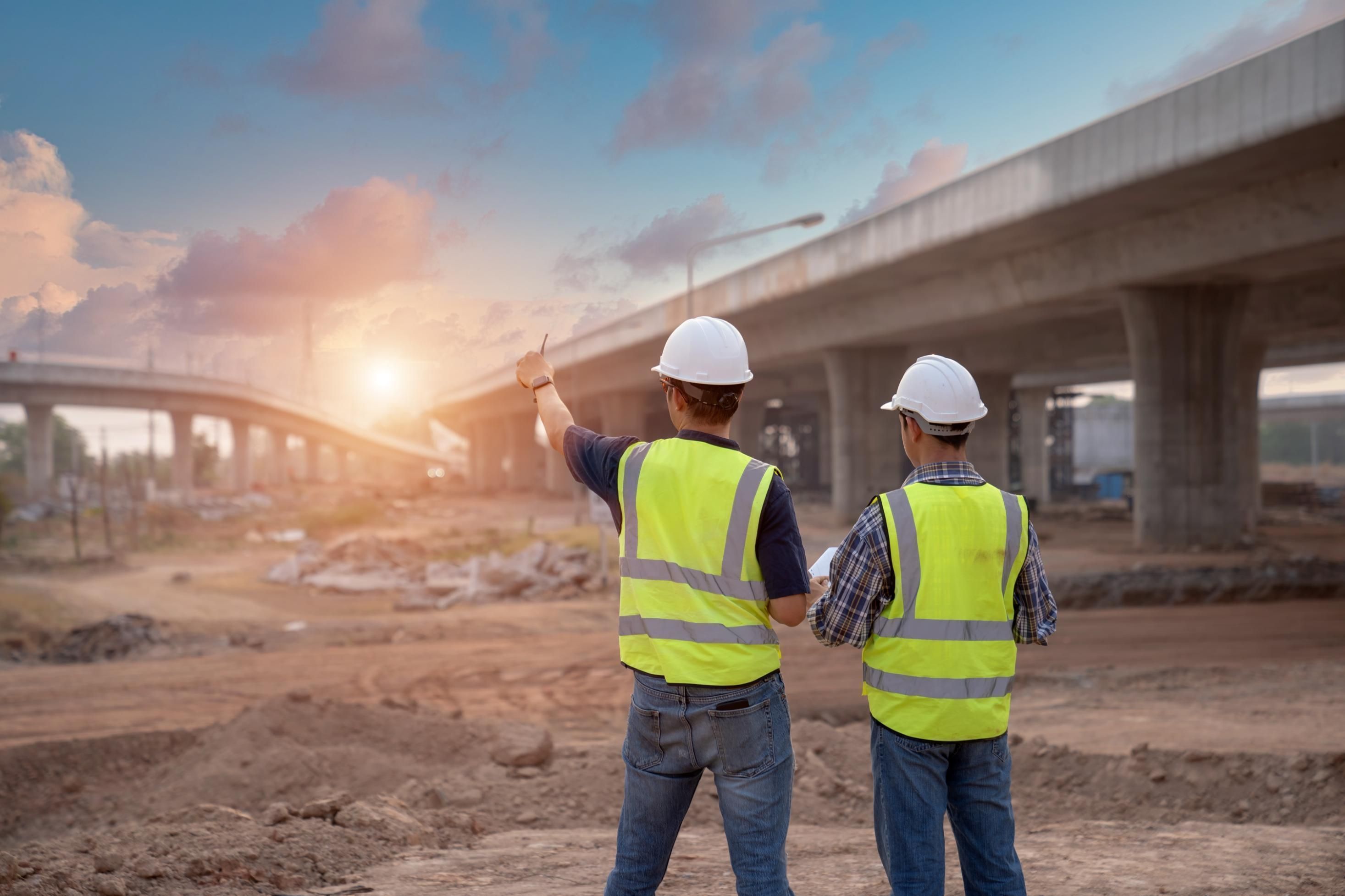
Varanasi, a popular spiritual and religious destination in India, attracts hundreds of thousands of tourists from all over the world. This historic city, famous for its cultural richness and spiritual monuments, has long struggled with traffic congestion. However, with the introduction of the Varanasi Metro project, the city would get major relief from traffic jams and congestion.
The proposed Varanasi Metro project will provide a reliable and efficient mode of transportation, significantly reducing the burden on existing roads and enhancing the overall connectivity in the city. This modern and convenient corridor will ease the daily commute of residents and tourists travelling between key destinations.
Also Read: Varanasi Kolkata Expressway
About Varanasi Metro Project
The proposed Varanasi Metro is a well-planned light rail transit system featuring two corridors and 26 stations. The metro corridor will connect key areas within the city and will be executed by the Uttar Pradesh Metro Rail Corporation Limited (UPMRCL). The operational date of this project has not been finalised yet.
The first corridor will extend from BHEL (Tarna, Shivpur) to Banaras Hindu University, covering a distance of approximately 19.35 km. The second corridor will span from Benia Bagh to Sarnath, covering a distance of approximately 9.885 km.
The project is expected to be carried out as a joint venture (JV) project between the Government of India (GoI) and the Government of Uttar Pradesh (GoUP), with a 50:50 equity participation. In addition to their equity commitment, the two governments have suggested extra grants in order to maintain the financial sustainability of the project.
In 2015, RITES created the project's first Detailed Project Report (DPR), which proposed a heavy-rail-based system. It is anticipated that about 80% of the Phase 1 lines will be underground. On April 18, 2016, the state cabinet of Uttar Pradesh approved this DPR, and on May 23, 2016, the cabinet of the federal government approved the same.
Due to the project's huge expenses and low projected traffic, which were not in accordance with the new Metro Rail Policy of the Government of India, it was placed on hold in 2017. Since then, the project underwent a redesign/rebranding as a Metrolite or Light Metro Rail project. In December 2019, RITES delivered its report to the Uttar Pradesh government after completing the route between BHEL and BHU.
Varanasi Metro: Quick Facts
Line Length |
29.235 km |
Transit type |
Light rail |
Owner |
Uttar Pradesh Metro Rail Corporation |
Number of lines |
2 (proposed) |
Number of stations |
26 (proposed) |
Estimated Cost |
Approximately Rs 17,000 crores |
Track gauge |
Standard Gauge (1,435 mm) |
Average speed |
35 km/h (22 mph) |
Top speed |
90 km/h (56 mph) |
Varanasi Metro: Route Map
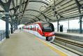
The ambitious Varanasi Metro project involves the construction of a comprehensive 29.23km metro line in the spiritual city of Varanasi, Uttar Pradesh, India. This proposed light rail transportation system will have two corridors and 26 stations, of which twenty stations will be underground, and the remaining six stations will be elevated.
_0_1200.jpg)
Varanasi Metro Stations
The Varanasi Metro project's BHEL to BHU corridor is anticipated to include a total of 17 proposed stations, with four above ground (to a maximum of about 3.845 km) and 13 underground (spanning approximately 15.505 km).
The second corridor of Varanasi Metro – Benia Bagh to Sarnath – is planned to include a total of 9 proposed stations, with two above ground (to a maximum of about 1.923 km) and seven underground (spanning approximately 7.962 km).


_80_120.jpg)
Varanasi Metro Corridor 1 – BHEL to Banaras Hindu University and (19.35 km)
Sl. No. |
Stations |
Alignment |
1 |
BHEL (Tarna) |
Elevated |
2 |
Tarna |
Elevated |
3 |
Elevated |
|
4 |
Sangam Colony |
Elevated |
5 |
Gilat Bazar |
Underground |
6 |
Bhojubeer |
Underground |
7 |
Collectorate |
Underground |
8 |
Underground |
|
9 |
Varanasi Junction |
Underground |
10 |
Kashi Vidyapeeth |
Underground |
11 |
Rathyatra |
Underground |
12 |
Benia Bagh |
Underground |
13 |
Kashi Vishwanath (Chitranjan Park) |
Underground |
14 |
Bangali Tola |
Underground |
15 |
Ratnakar Park |
Underground |
16 |
Tulsi Manas Mandir |
Underground |
17 |
Banaras Hindu University (BHU) |
Underground |
BHU - the end point of Varanasi Metro Corridor 1
Varanasi Metro Corridor 2 – Benia Bagh to Sarnath (9.885 km)
Sl. No. |
Stations |
Alignment |
1 |
Underground |
|
2 |
Kotwali |
Underground |
3 |
Machodari Park |
Underground |
4 |
Kashi Bus Depot |
Underground |
5 |
Underground |
|
6 |
Panchkroshi |
Elevated |
7 |
Ashapur |
Elevated |
8 |
Havelia |
Elevated |
9 |
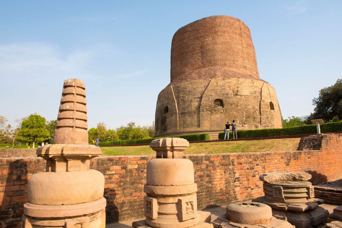
Sarnath |
Underground |
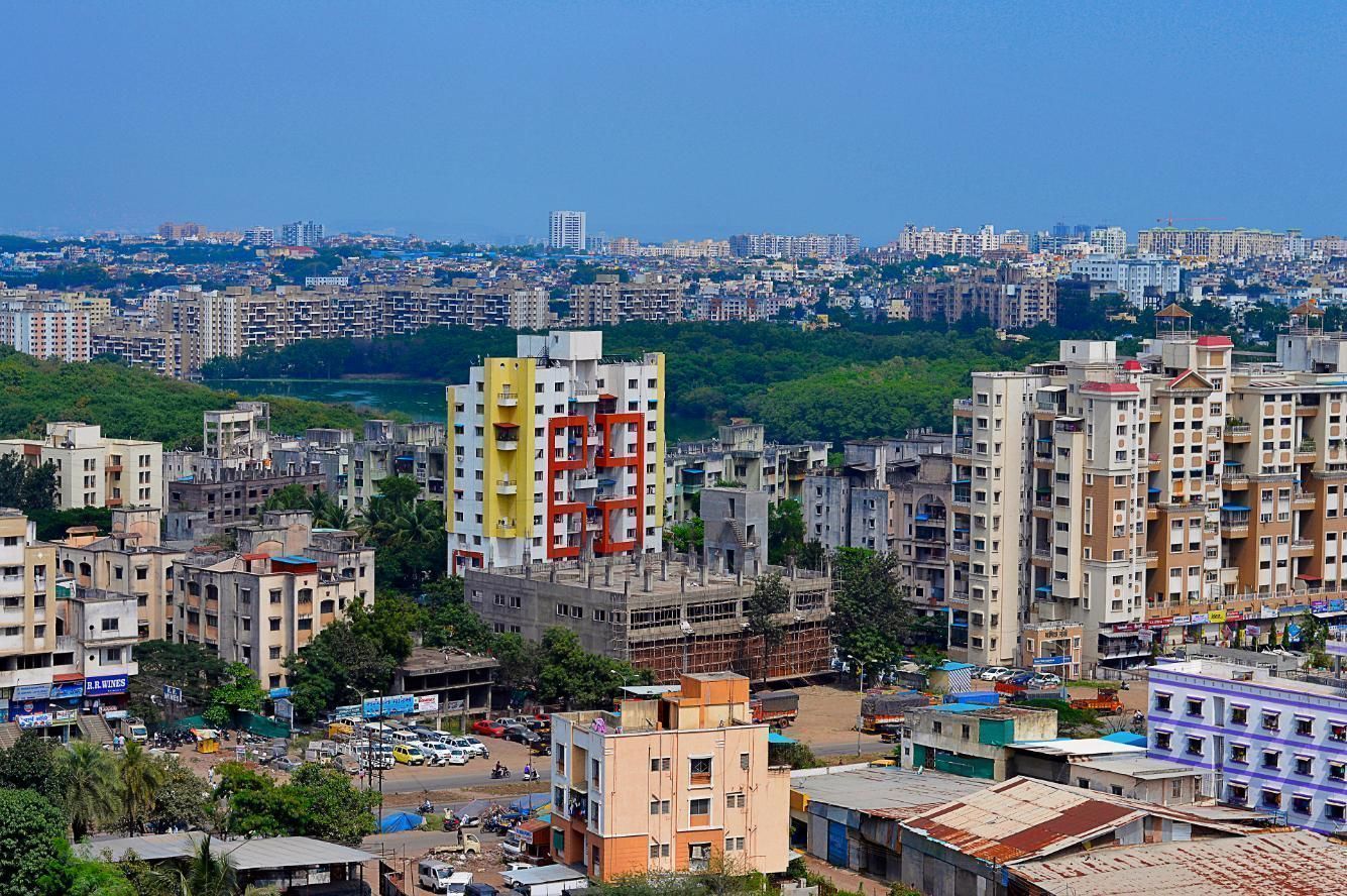
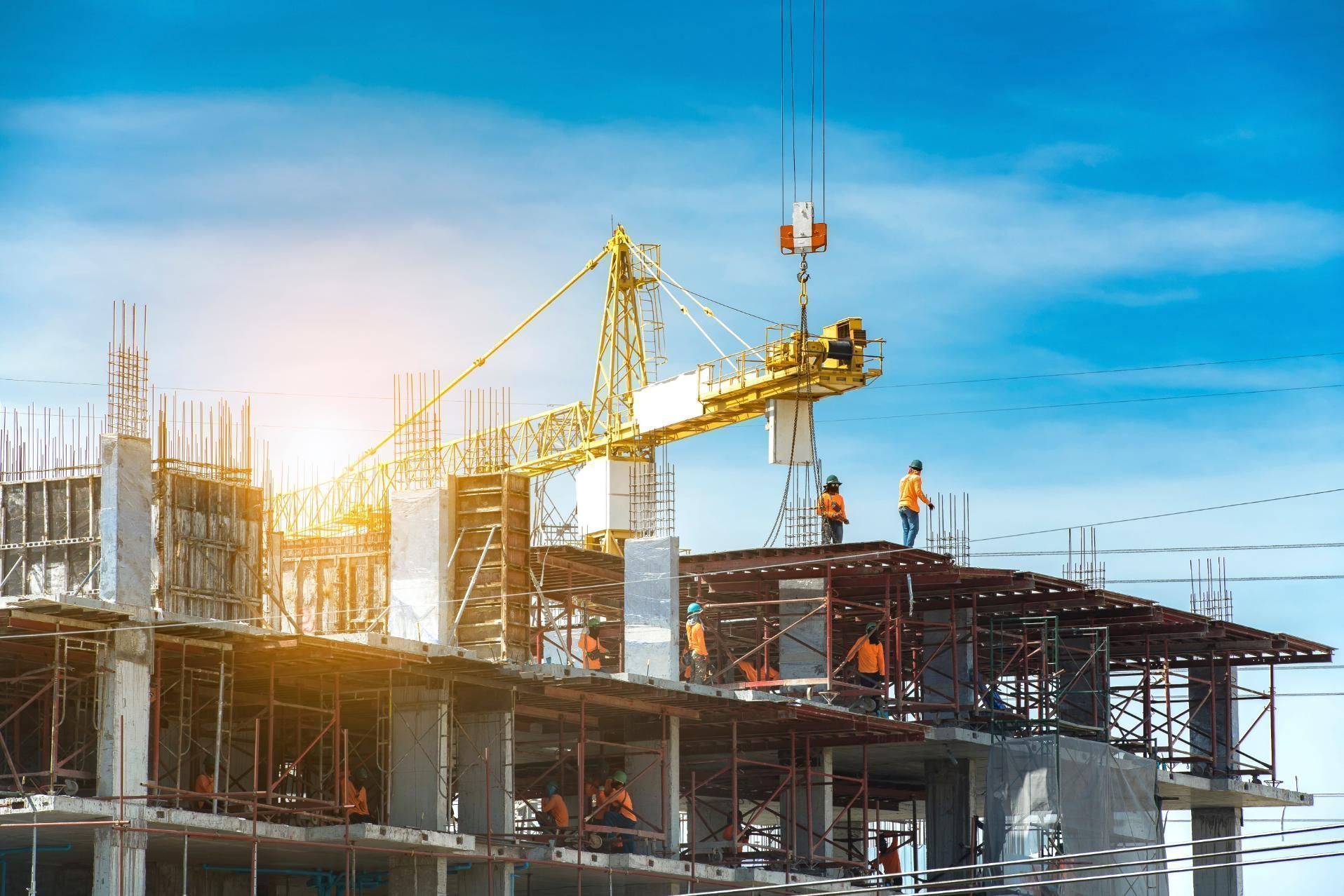
Varanasi Metro: Impact on Real Estate Prices
The construction of a Varanasi Metro rail system plays a key role in enhancing the overall livability quotient of a city. The city, which primarily offers a mix of independent houses and plots, has witnessed significant interest from developers in areas such as Shivpur, Sarnath, and Belapur. Furthermore, the Varanasi Development Authority (VDA), the city's housing authority, has created residential societies to meet the growing housing demands of the people.
Once the metro is operational and accessible to the public, property rates for both resale and under-construction properties are expected to rise. Furthermore, the rental market is also expected to witness growth, particularly in areas that will be directly connected through Corridors 1 and 2 of the Varanasi Metro project. The improved accessibility and convenience offered by the metro will make the areas along the route more favourable, attracting more tenants.
Summary on Varanasi Metro Project
The Varanasi Metro Project is a big step forward in the city's development. This modern transportation system is designed to change the way people travel within the city by delivering efficient transport infrastructure. The metro will not only relieve traffic congestion but will also help to economic growth and cultural exchange within Varanasi due to improved connectivity, decreased travel time, and enhanced accessibility.
The project is also anticipated to have a favourable effect on real estate values, boost commercial development, and enhance the overall quality of life for the people of Varanasi. Additionally, the proposed Varanasi Metro Project is poised to transform the city into a more connected, vibrant, and sustainable city for generations to come.
City-wise Metros


.png)