2023
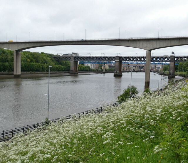
NZ2462 : Tyne bridges
taken 2 years ago, near to Dunston, Gateshead, England
This is 1 of 3 images, with title starting with Tyne in this square

Tyne bridges
It is possible - just - in this photograph to make out six out of the seven bridges across the Tyne in central Newcastle. Starting with the nearest:
In square NZ2463
1. Redheugh Bridge (road, A189)
2. King Edward Bridge (rail, carrying the East Coast Main Line)
3. Queen Elizabeth II Bridge (blue girders - Tyne and Wear Metro)
Further away in NZ2563
4. High Level Bridge (concrete two decks, carrying the B1307 on the bottom deck and the railway to Sunderland on the top deck)
5. Low Level Bridge (red and white swing bridge - road)
6. Tyne Bridge (metal arch - A167)
The Millennium Bridge is not visible from this point.