

One of only two designated Wild and Scenic Rivers in the state, the Wekiva River flows sixteen miles from its headwaters at Wekiwa Spring to the St. Johns River.
Public lands protect a great deal of the shoreline and floodplain of this waterway, which is fed by numerous springs and tributaries.
 A river is born at Wekiwa Springs
The section of river between Wekiwa Springs State Park and Katie’s Landing is a little over ten miles long, providing an excellent day trip, especially for a group.
Take-outs are situated along the route, including a campsite that can be used for an overnight trip on the river.
 An intermediate take-out at Wilson’s Landing is a narrow passage adjoining a waterfront boardwalk
Resources


Disclosure: As authors and affiliates, we receive earnings when you buy through our links. This helps us provide public information on this website.
Overview
Location: Apopka to Sanford
Length: 10.5 mile linear
Launch: 28.710664, -81.458535
Launch Address: 1800 Wekiwa Circle, Apopka
Landing: 28.829041, -81.412764
Landing Address: 262 Wekiva Park Dr, Sanford
Fees: $6 per vehicle at launch, $3 per vehicle at landing
Restroom: At put-in, take-out, and Wilsons Landing Park
Land manager: Florida State Parks
Phone: 352-394-3969
Both launch and landing are in Florida State Parks, open 8 AM to sunset. Both parks permit dogs on a leash.
As a linear downstream paddle, this trip requires staging a vehicle at Katie’s Landing prior to embarking at Wekiwa Springs State Park. Be sure to bring plenty of water and sun protection.


Directions
To stage a vehicle at the landing, follow our directions for Katie’s Landing at Lower Wekiva River Preserve State Park. To reach the launch, backtrack east along SR 46 to the light at Longwood-Markham Rd. Turn right. Make a left where the road meets Markham Rd in front of a gated subdivsion. Continue 1.2 miles to the stop sign at Markham Woods Rd. Turn right. Drive 7.4 miles to reach SR 434. Turn right. Past the light for The Springs, turn right on Wekiva Springs Rd. In 4.4 miles, the park entrance for Wekiwa Springs will be on the right. Turn right after passing the ranger station, and drive to the end of the parking lot. A sign in the lot directs paddlers to the launch at the bottom of a hill. This is the shortest drive between landing and launch, 17.4 miles.
Paddle
At the launch, a shallow beach allows for loading and a gentle push-off near the headspring.
Initially clear, the water quickly becomes dark and tannic while gliding across an open pool towards a narrow waterway on the opposite end.
 Paddle launch at Wekiwa Springs
Dense floodplain swamps envelop this gentle stream as it drifts gently east.
Reaching a confluence with Rock Springs Run in 0.7 mile, turn right to follow the current downstream.
 Rock Springs Run confluence
A curious bridge spans the river at one mile, having no connections to any roads. Built in the 1950s it was meant for a highway.
The land on the western riverbank eventually became Rock Springs Run Preserve. Abandoned due to the environmental impact, this structure remains today.
 1950s bridge
Immediately after you pass under the bridge, Wekiva Island comes into view, a private take-out and launch along the river.
Often serving as an end point for paddle trips that start near the head of Rock Springs Run at Kings Landing, this waterfront venue offers food and facilities.
 Wekiva Island
Wildlife becomes more abundant after Wekiva Island as weekend crowds on the water diminish quickly.
The waterway widens while meandering northward, and islands present paddling choices to the left or right.
 The river widens
Limpkins walk lightly on large spatterdock leaves on the surface, in search of apple snails among the floating vegetation.
Gallinules bellow laughter-like calls from the weeds. Snowy egrets and great blue herons search for food in the shallows on the river’s edge.
 Limpkin
A sign at 3.5 miles points to Buffalo Tram, a primitive campsite on the west side of the river. It has a bear locker, an important amenity for food storage.
This is one of two camping areas in Rock Springs Run Reserve accessible by water, and it can be booked in advance by calling Wekiva Springs State Park.
 Buffalo Tram Campsite
Continuing downstream, several islands can make navigation a bit tricky, although each path eventually leads in the same direction.
A variety of turtles gather on half-submerged logs sunning themselves alongside an occasional alligator.
 Juvenile alligator
While dark waters swirl ominously and conceal submerged wildlife, fish are seen darting underneath in the shallower areas, including bream, bass, and freshwater eels.
At 8.5 miles, the trail passes Wilsons Landing, a county park that serves as designated take-out and launch.
 Broad open waterway near Wilsons Landing
The river becomes exceptionally wide while approaching the tall State Road 46 bridge, revealing a jungle of aquatic grasses right below the surface.
Passing under the bridge, the current slows, and the water becomes glassy for the final mile before reaching Katie’s Landing at 10.4 miles.
 Katie’s Landing
Trail Map


Explore More!
Learn more about the state parks at both ends of this paddle.
 Wekiwa Springs State Park A massive wilderness area on the edge of the Orlando metro, Wekiwa Springs State Park is centered on a first-magnitude spring that pours forth a river lined with jungle-like vegetation.
 Lower Wekiva River Preserve State Park Paddle, hike, or ride your horse within this massive riverine preserve on the edge of the Orlando metro, where the Wekiva River and St. Johns River mingle.
Video
Nearby Adventures
 Wekiwa Springs Hiking Trail A 10.2-mile loop through landscapes both vast and intimate, the Wekiwa Springs Hiking Trail shows off the best of nature at Wekiwa Springs State Park.
 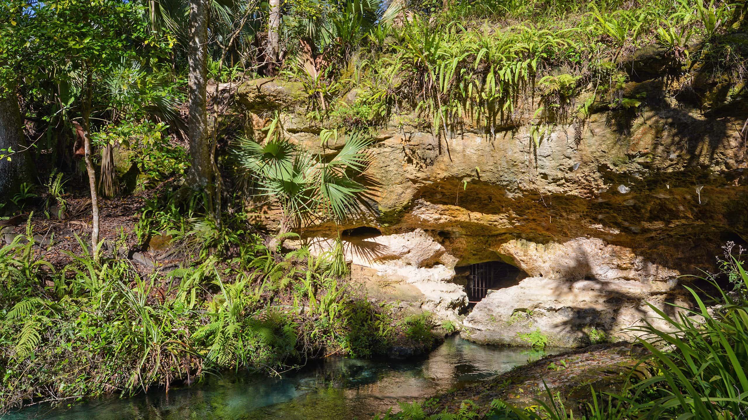 Kelly Park Tubing Rock Springs Run is why most folks visit Kelly Park, but the Kelly Loop Trail provides unique perspectives on many more natural features within the park.
 Black Bear Wilderness Area North of Orlando, Black Bear Wilderness Area in Sanford offers some of the best wildlife watching in the region on its loop along the St. Johns River.
 Seminole State Forest With nearly 50 miles of trails and roads for hiking, biking, and equestrian use, Seminole State Forest offers surprising panoramas and bubbling springs north of Orlando.