| Castagnito | ||
|---|---|---|
| Entidad subnacional | ||
 | ||
 Escudo | ||
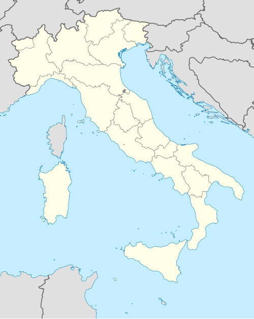 Castagnito Localización de Castagnito en Italia | ||
 | ||
| Coordenadas | 44°45′01″N 8°03′10″E / 44.75019265, 8.05286175 | |
| Capital | Castagnito | |
| Idioma oficial | Italiano | |
| Entidad | Comuna de Italia | |
| • País | Italia | |
| • Región | Piamonte | |
| • Provincia | Cuneo | |
| Dirigentes | ||
| • Alcalde | Felice Pietro Isnardi | |
| Municipios limítrofes | Barbaresco, Castellinaldo, Guarene, Magliano Alfieri, Neive, Vezza d'Alba | |
| Superficie | ||
| • Total | 7 km² | |
| Altitud | ||
| • Media | 350 m s. n. m. | |
| Población (31-05-2007 (fonte Istat)) | ||
| • Total | 2007[1] hab. | |
| • Densidad | 287 hab./km² | |
| Gentilicio | castagnitesi | |
| Huso horario | CET (UTC +1) | |
| • en verano | CEST (UTC +2) | |
| Código postal | 12050[2] | |
| Prefijo telefónico | 0173 | |
| Matrícula | CN | |
| Código ISTAT | 004046 | |
| Código catastral | C046[3] | |
| Patrono(a) | Juan el Bautista | |
| Sitio web oficial | ||
Castagnito es una localidad y comune italiana de la provincia de Cuneo, región de Piamonte, con 2007 habitantes.
YouTube Encyclopedic
-
1/3Views:5 865487703
-
Ostu di Djun, ristorante, Castagnito
-
Da Castagnito al mondo
-
Cantè J'Euv 2013. CASTAGNITO. I
Transcription
Evolución demográfica
| Gráfica de evolución demográfica de Castagnito entre 1861 y 2001 |
|
Fuente ISTAT - elaboración gráfica de Wikipedia |
Referencias
- ↑ Datos proporcionados por el Istituto Nazionale di Statistica. Datos demográficos (2009)
- ↑ Worldpostalcodes.org, código postal n.º 12050.
- ↑ «Codici Catastali». Comuni-italiani.it (en italiano). Consultado el 29 de abril de 2017.
Enlaces externos
- Esta obra contiene una traducción derivada de «Castagnito» de Wikipedia en italiano, publicada por sus editores bajo la Licencia de documentación libre de GNU y la Licencia Creative Commons Atribución-CompartirIgual 4.0 Internacional.
Datos: Q19890
Multimedia: Castagnito / Q19890