Lachapelle-sous-Aubenas | |
|---|---|
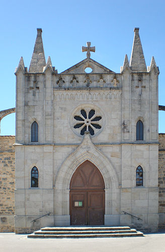 The church in Lachapelle-sous-Aubenas | |
Location of Lachapelle-sous-Aubenas  | |
 Lachapelle-sous-Aubenas  Lachapelle-sous-Aubenas | |
| Coordinates: 44°33′54″N 4°21′53″E / 44.565°N 4.3647°E | |
| Country | France |
| Region | Auvergne-Rhône-Alpes |
| Department | Ardèche |
| Arrondissement | Largentière |
| Canton | Aubenas-2 |
| Government | |
| • Mayor (2020–2026) | Sandrine Genest[1] |
| Area 1 | 10.12 km2 (3.91 sq mi) |
| Population (Jan. 2020)[2] | 1,699 |
| • Density | 170/km2 (430/sq mi) |
| Time zone | UTC+01:00 (CET) |
| • Summer (DST) | UTC+02:00 (CEST) |
| INSEE/Postal code | 07122 /07200 |
| Elevation | 178–449 m (584–1,473 ft) (avg. 205 m or 673 ft) |
| 1 French Land Register data, which excludes lakes, ponds, glaciers > 1 km2 (0.386 sq mi or 247 acres) and river estuaries. | |
Lachapelle-sous-Aubenas (French pronunciation: [laʃapɛl su.z‿obna], literally Lachapelle under Aubenas) is a commune in the Ardèche department in southern France.
YouTube Encyclopedic
-
1/5Views:4355 5008561 2322 880
-
Ardèche - Lachapelle sous Aubenas
-
L'Ardèche à Pont d'Aubenas le 3/11/2014 à 14 h 30
-
Elsa&Adrien Mariage à La Fabrique Julie Derache Photographies
-
Ardèche - La Chapelle Graillouse
-
Ardèche - Château de Boulogne (vers Aubenas)
Transcription
Population
| Year | Pop. | ±% |
|---|---|---|
| 1962 | 442 | — |
| 1968 | 511 | +15.6% |
| 1975 | 631 | +23.5% |
| 1982 | 840 | +33.1% |
| 1990 | 1,107 | +31.8% |
| 1999 | 1,259 | +13.7% |
| 2008 | 1,430 | +13.6% |
See also
References
- ^ "Répertoire national des élus: les maires". data.gouv.fr, Plateforme ouverte des données publiques françaises (in French). 9 August 2021.
- ^ "Populations légales 2020". The National Institute of Statistics and Economic Studies. 29 December 2022.
Wikimedia Commons has media related to Lachapelle-sous-Aubenas.
This Ardèche geographical article is a stub. You can help Wikipedia by expanding it. |