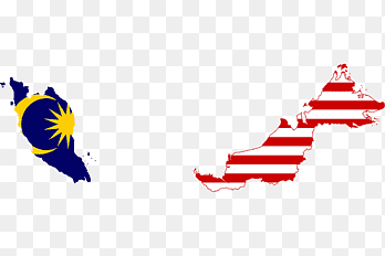
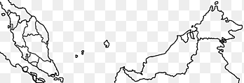
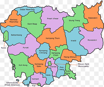
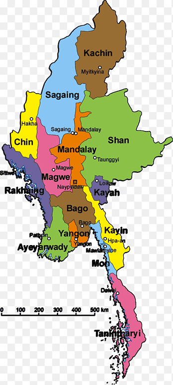
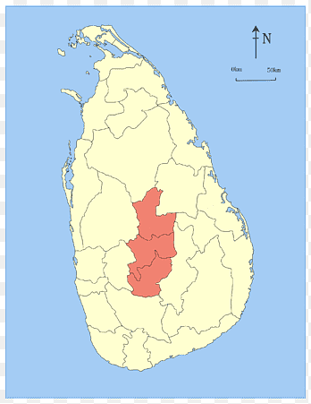
North Seberang Perai District Central Seberang Perai District George Town, square, map, square png
PNG keywords
- map,
- square,
- seberang Perai,
- perai,
- peninsular Malaysia,
- penang Island,
- penang,
- northeast Penang Island District,
- administrative Division,
- list Of Districts In Malaysia,
- line,
- george Town,
- encyclopedia,
- ecoregion,
- central Seberang Perai District,
- butterworth,
- area,
- states And Federal Territories Of Malaysia,
- png,
- sticker png,
- free download
PNG info
- Dimensions
- 600x740px
- Filesize
- 77.35KB
- MIME type
- Image/png
resize png
width(px)
height(px)
Non-commercial use, DMCA Contact Us
Relevant png images
-

assorted-color flag, Peninsular Malaysia Brunei Flag of Malaysia States and federal territories of Malaysia Map, flag of malaysia, flag, map png -

Flag of Malaysia Federal Territories Peninsular Malaysia Map, map, flag, text png -

States and federal territories of Malaysia States and federal territories of Malaysia graphy Map, map, blue, cloud png -

Kuala Selangor Sepang District Hulu Langat District Hulu Selangor District Petaling District, Administrative maps, road Map, light Green png -

map sketch, Peninsular Malaysia Federal Territories Blank map Map, indonesia map, white, monochrome png -

Kuala Selangor Peninsular Malaysia States and federal territories of Malaysia Map, map, world, map png -

Malaysia Map, asia, world, map png -

Central Seberang Perai District Southwest Penang Island District International School of Penang Christmas Island Coat of arms of Penang, map, malaysia png -

Selangor state election, 2018 Map Electoral district, map, text, map png -

Penang Island Nibong Tebal Central Seberang Perai District, Seberang Perai Municipal Council, angle, map png -

Peninsular Malaysia States and federal territories of Malaysia Blank map Google Maps, cover material, border, angle png -

Blank map Peninsular Malaysia, perak, copyright, map png -

Kampar Kuala Kangsar Teluk Intan Muallim District Kerian District, teluk intan perak malaysia, text, map png -

Phnom Penh Provinces of Cambodia World map, Cambodia, text, world png -

Mrauk U Kayin State Administrative divisions of Myanmar Map Shan State, myanmar Map, world Map, tree png -

Autonomous communities of Spain Political divisions of Spain Constitution of Spain Administrative division, maps, world, map png -

Hangu, Pakistan Province Administrative division Sohbatpur Punjab, Pakistan, pakistan, border, map png -

Peninsular Malaysia Federal Territories Blank map Flag of Malaysia, indonesia map, angle, white png -

Peninsular Malaysia Universiti Putra Malaysia Blank map, malaysia, flag Of Malaysia, map png -

Peninsular Malaysia Rail transport in Malaysia Bahau Map, railway, world, rail Transport png -

Abu Dhabi Dubai Sharjah Blank map, dubai, text, world png -

George Town Butterworth Balik Pulau Bayan Lepas Rimau Island, map, malaysia png -

Muar Segamat District Batu Pahat Flag States and federal territories of Malaysia, Flag, flag, fictional Character png -

Margaret River Senior High School province of the Republic of China Map Provinces of China, China, world, china png -

States and federal territories of Malaysia World map Blank map, map, angle, white png -

Sibirsky, Altai Krai Krais of Russia United States Federal districts of Russia Map, united states, apartment, united States png -

George Town Seberang Perai Municipal Council Penang Island City Council Betong Island, ticket, city, penang png -

Peninsular Malaysia Map graphics, map, blank, map png -

Johor Bahru District Muar Iskandar Malaysia Mersing, map, city, map png -

Peninsular Malaysia Federal Territories Map, Major s, highway, road Map png -

Santiago Valparaíso Region Regions of Chile Chilean Coast Range, map, region png -

Balaghat district Hoshangabad Bhopal Neemuch Wikipedia, india, world png -

States and territories of India Hubli Non-cooperation movement Salt March Map, map, india, map png -

Northern Province Provinces of Sri Lanka British Ceylon North Central Province, Sri Lanka Institute Of Information Technology, text, world png -

States and territories of India Mapa polityczna, indian map, wikimedia Commons, india png -

Federation of Bosnia and Herzegovina Republika Srpska Blank map, map, white, blank png -

Bellary Belgaum Bijapur Bagalkot Uttara Kannada, Karnataka, india, map png -

Malaysia Email Database Kuala Lumpur Flag of Malaysia Map, Malaysia Flag Map, flag, text png -

Eastern Province Southern Province Kegalle District Uva Province Provinces of Sri Lanka, world, map png -

Budapest Counties of the Kingdom of Hungary County Flag of Hungary subregion of Hungary, europe, map, administrative Division png -

South-Western Administrative Okrug Mitino District Territory Zelenograd, Moscow Metro, city, map png -

Language Movement Sohbatpur Province Wikipedia Kazakhstan, pakistan culture, border, republic png -

East Siberian economic region Federal subjects of Russia Southern Federal District Republics of Russia, map russia, world, map png -

Northeast India China Sino-Indian War Sino-Indian border dispute States and territories of India, China, india, world png -

George Town Rimau Island Balik Pulau Bayan Lepas Butterworth, map, malaysia png -

Flag and coat of arms of Kedah Flag and coat of arms of Kelantan Kelantan Utilities Mubaarakan Holdings Sdn. Bhd. States and federal territories of Malaysia, bendera malaysia, flag, malaysia png -

Kuantan Kuala Lipis Lipis District Jerantut District Peninsular Malaysia, malaysia, pink png -

East Garo Hills district East Khasi Hills district North Garo Hills district East Jaintia Hills district, text, india png -

Peninsular Malaysia Blank map Mapa polityczna, malaysia, world, map png -

Federation of Bosnia and Herzegovina Republika Srpska Blank map, map, white, map png

