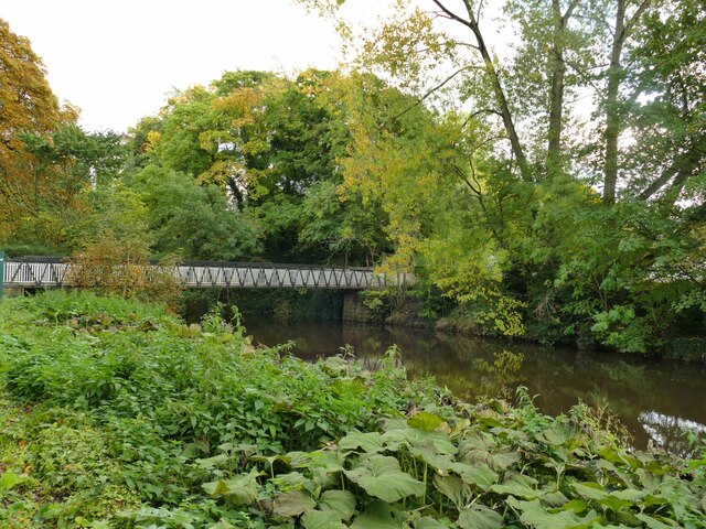
SJ8663 : St Stephen's Bridge in Congleton park
taken 3 years ago, near to Hightown, Cheshire East, England

The park occupies 12 acres of land on the north bank of the river Dane, including Town Wood. The land was bought by the Town Council in 1856 and the park laid out by landscape architect Edward Kemp and town surveyor William Blackshaw. Accessed by a new road from the town centre, the park opened on Whit Monday 1871. Various features were added over the years and the layout of the park was altered in 1953 to mark the Coronation of Elizabeth II. It was listed grade II in 2001 (list entry 1001530) and restored from 2005 with a Heritage Lottery Fund grant.
Sources: Historic England listing and information boards on site.
The River Dane flows through Cheshire.
The river rises close to the source of the River Goyt just to the south west of Buxton, on Axe Edge Moor. Flowing southwest, it forms the border between Cheshire, Derbyshire and Staffordshire for around 10 miles before flowing west through Congleton and past Holmes Chapel.
The point on the river where the three counties meet, at Panniers' Pool Bridge, is called the Three Shire Heads.
Passing just to the north of Middlewich, it merges first with the River Croco near the site of the old Roman fort in Harbutt's Field, and then with the River Wheelock near the aqueduct carrying the Trent and Mersey Canal, and runs the remaining five miles north to Northwich where it flows into the River Weaver.