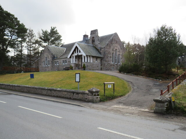
NH9022 : Carrbridge Parish Church
taken 2 years ago, near to Carrbridge/Drochaid Chàrr, Highland, Scotland

Carrbridge (Scottish Gaelic: Drochaid Chàrr) is a village, about 10 km north of Aviemore in the Cairngorms National Park. Until the bypass was constructed in the 1980s, the A9 road ran straight through the village.
The village is famous for its 18th century packhorse bridge (NH9022 : Old Pack Horse Bridge at Carrbridge ) around which it developed and from which it gets its name. The Old Bridge of Carr had been built in 1717 as a foot bridge and in 1791 a new toll bridge was built for wheeled transport, carrying first the Kinveachy to Dulsie Bridge military road and from 1803, the Perth - Inverness road as well. The 'T' junction at the new bridge was a natural place for a settlement to develop. The first building near the Bridge was an Inn. The 1808 village plan showed small crofts on along the new main road (Inverness Road). It was not until the opening of the Aviemore to Inverness spur of the Highland railway line in 1898 that Carrbridge grew from being a hamlet to becoming a village popular as a tourist destination.; an old holiday guide refers to Carrbridge as, "A quiet holiday village on the fringes of nowhere in particular". By the late 1950s Carrbridge was booming as the first ski-centre in Scotland.
LinkCarrbridge Community page
The Cairngorms National Park, in the Highlands of Scotland, is the largest of the UK's National Parks. Covering an area of more than 4,500 square kilometres, it comprises a variety of landforms, from mountain peaks to low-lying valleys.
The Cairngorms National Park's website is here: Linkwith information about the park on this page: Link