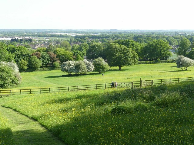
SK6242 : Gedling House Meadows – 6
taken 2 years ago, near to Carlton, Nottinghamshire, England

The area formed part of the demesne of Gedling House which was built towards the end of the 18th century and was deliberately landscaped as a mixture of woodland and open grassland. This determined the curving boundary between the two elements.
The area remained in private ownership until 1955 when it was sold to Carlton Urban District Council, and remains in the ownership of the successor authority, Gedling Borough Council.
The meadows were let for grazing, mainly by horses, but the woodland appears to have received minimal maintenance.
The woodland was designated a Local Nature Reserve in 1992, following which there was some clearance activity by a local volunteer association, but this disbanded in 1996.
The condition of the meadows continued to deteriorate under the grazing regime.
A new group, Friends of Gedling House Woods Linkwas formed in 2003 to improve the management of the woodland and the meadowland in conjunction with the borough, with a 20-year contract. A programme to improve the meadows began in 2004 and they were designated as a Local Nature Reserve in 2007.
By 2012 the meadow area was partly overgrown with bramble, elder and other shrubs and an improvement programme was put in place. Tin 2014-5 the meadows were cleared and reseeded with a mix of grass (70%) and wildflower (305) seeds, as shown on this panel Link .
The strategy for the woodland is to maintain it in a reasonably natural state with felling of dead trees and selective replanting together with natural regeneration. This is combined with maintenance of a number of designated footpaths.
The meadows are maintained as traditional meadowland, allowing the wildflowers time to seed before mowing for hay in late summer, following which sheep are brought in to graze the grass to keep it short. There is selective application of herbicide to eliminate growth of, for example, stinging nettles, elder and bramble. A number of pathways are kept mown to minimise disturbance of wildflowers by random access by walkers.