Nothing Special   »   [go: up one dir, main page]

2021

SY5088 : Gap in the reeds below Othona

taken 4 years ago, near to Swyre, Dorset, England
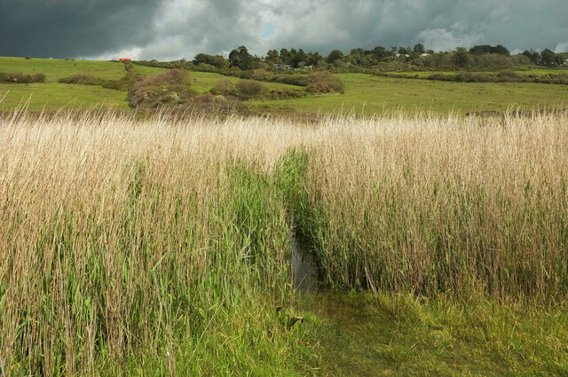
Gap in the reeds below Othona
The settlement on the hillside is Othona, a spiritual community and retreat (see SY5188 : Burton Bradstock: Othona Community chapel). The gap which could have been a path is, as you can see, waterlogged. Whether this is permanent or a result of the very wet weather I'm not sure, but I think the latter.

Creative Commons Licence [Some Rights Reserved]   © Copyright Derek Harper and licensed for reuse under this Creative Commons Licence.
This photo is linked from: Articles: · Images shortlisted for POTY 2021 Automatic Clusters: · Reeds [6] · Othona [2] · Wet Weather [2] Other Photos: · Path through the scrub ·
1:50,000 Modern Day Landranger(TM) Map © Crown Copyright
+
+
1:50,000 Modern Day Landranger(TM) Map © Crown Copyright
TIP: Click the map for more Large scale mapping
Grid Square
SY5088, 70 images   (more nearby 🔍)
Photographer
Derek Harper   (more nearby)
Date Taken
Wednesday, 26 May, 2021   (more nearby)
Submitted
Sunday, 30 May, 2021
Subject Location
OSGB36: geotagged! SY 5057 8800 [10m precision]
WGS84: 50:41.3723N 2:42.0674W
Camera Location
OSGB36: geotagged! SY 5056 8799
View Direction
Northeast (about 45 degrees)
Clickable map
+
NW N NE
W Go E
SW S SE
Image Type (about): cross grid 
This page has been viewed about 31 times
You are not logged in | login | register