2020
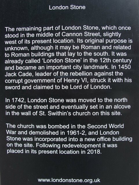
TQ3280 : Plaque next to the London Stone
taken 4 years ago, near to City of London, The City of London, England

Plaque next to the London Stone
Inscription reads:
London Stone
The remaining part of London Stone, which once stood in the middle of Cannon Street, slightly west of its present location. Its original purpose is unknown, although it may be Roman and related to Roman buildings that lay to the south. It was already called ‘London Stone’ in the 12th century and became an important city landmark. In 1450 Jack Cade, leader of the rebellion against the corrupt government of Henry VI, struck it with his sword and claimed to be Lord of London.
In 1742, London Stone was moved to the north side of the street and eventually set in an alcove in the wall of St. Swithin’s church on this site.
The church was bombed in the Second World War and demolished in 1961-2, and London Stone was incorporated into a new office building on the site. Following redevelopment it was placed in its present location in 2018.
Link
see also
TQ3280 : London Stone, Cannon Street, London EC4
TQ3280 : The location of London Stone (111 Cannon Street)