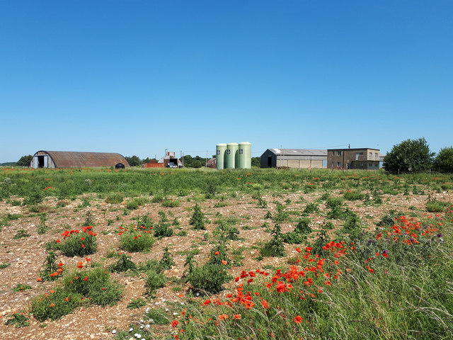
SP1812 : NW site, former RAF Windrush
taken 5 years ago, near to Windrush, Gloucestershire, England

RAF Windrush opened in Spring 1940 and closed in Autumn 1945. Its role was to train pilots for the Royal Air Force. The role was unspectacular but contributed greatly to the success of the RAF and eventual victory. It is not known how many pilots passed through the Windrush training programmes but it they are certainly numbered in their thousands. Training courses ran for four weeks for the single-engined Harvard Advanced Trainer and six weeks for the twin-engined Oxford and Anson aircraft. Over 1500 personnel were based here including ground crews, trainee pilots, flying instructors and WAAF staff, with approximately 90 aircraft in all.
Being a training airfield there were many crashes on the airfield itself and in the vicinity with a number of fatalities. A plaque mounted on the control tower commemorates the action of Sergeant Pilot Bruce Hancock of the Voluntary Reserve on the evening of Sunday 18th August 1940. That night, while flying an unarmed Avro Anson trainer he was seen to sacrifice his life by ramming and destroying an attacking enemy Heinkel 111 bomber. Another plaque commemorating this incident is mounted in the wall of the churchyard of St Peterís, Windrush.