2014
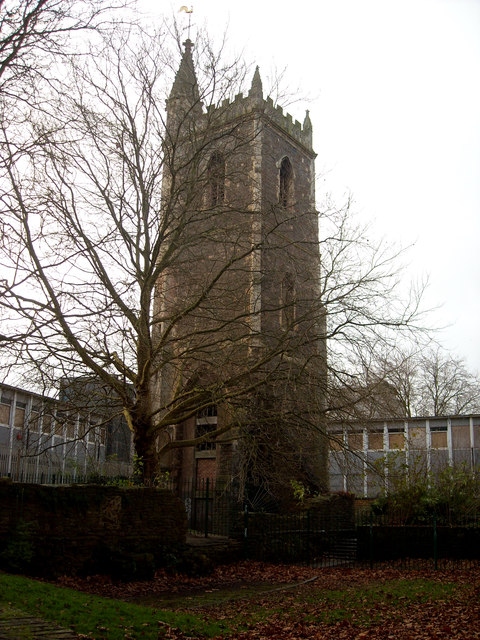
ST5873 : Church tower of St. Mary-le-Port, High Street
taken 10 years ago, near to Bristol, England

Church tower of St. Mary-le-Port, High Street
Grade II listed church tower. Link The church derives its name from its position at one of the city's former gates (not from Bristol's status as a port). It was gutted during Bristol's first big Luftwaffe raid in November, 1940, after which John Piper painted a picture of the blitzed church. Link
 In 1978, when Castle Park was created as a public open space, the remaining church walls were tidied up and conserved. Link
 (Archive Link
 ) Archaeological excavations have revealed several periods of new building and alterations. The following information was taken from the sign in front of the church:
"The first church was built in Saxon times. It was a simple rectangular stone building in a street of timber ones and, with St. Peters, was an important focus of the early town. It was enlarged soon after the Norman Conquest and a market developed around the church.
"A chancel and possibly a tower were added some time before 117[0] when the church of St. Mary was in the care of Keynsham Abbey. In the 13th century the church was rebuilt again with the addition of a north aisle and a new tower.
"The present tower was added in the 15th century and a cellared house for the [ ] was [ ] into the north-east[?] corner. The cell can be seen through the iron grill.
"By 1877, after further building and restoration, the church had acquired the plan it has today. The present shell is a reminder of the blitz which destroyed much of central Bristol during World War II."
Behind the church the former Norwich Union building can be seen, see ST5872 : Former Norwich Union Building, High Street, Bristol.