2014
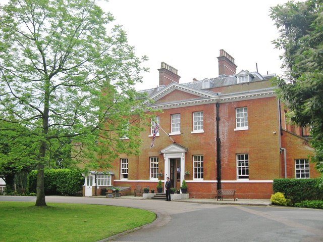
TQ5192 : The Bower House, Havering-atte-Bower, Essex
taken 11 years ago, near to Havering-Atte-Bower, Havering, England
This is 1 of 2 images, with title The Bower House, Havering-atte-Bower, Essex in this square

The Bower House, Havering-atte-Bower, Essex
The Bower House is a Georgian mansion of red brick and Welsh slate construction built in 1729 for the wealthy barrister John Baynes having achieved the rank of "Serjeant at Law". The house was originally named "Monthavering". At just 14 miles, the site was chosen to be sufficiently close to the city of London, yet set in the peaceful countryside where the Baynes family had owned land for generations, where John and his family could enjoy the fresh clean air. But poor John died just five years later aged 60. The name of the house was changed to its present title after the death of John's wife Mary at about 1771. After many changes of ownership (which in 1946 included the Ilford Film Company who carried out some major restorations) the buildings are now used for the purpose of Christian religious training. See alsoTQ5192 : The Bower House, Havering-atte-Bower, Essex