Nothing Special   »   [go: up one dir, main page]

2010

SO4685 : Callow Hill downhill now - Lower Dinchope, Shropshire

taken 14 years ago, near to Westhope, Shropshire, England

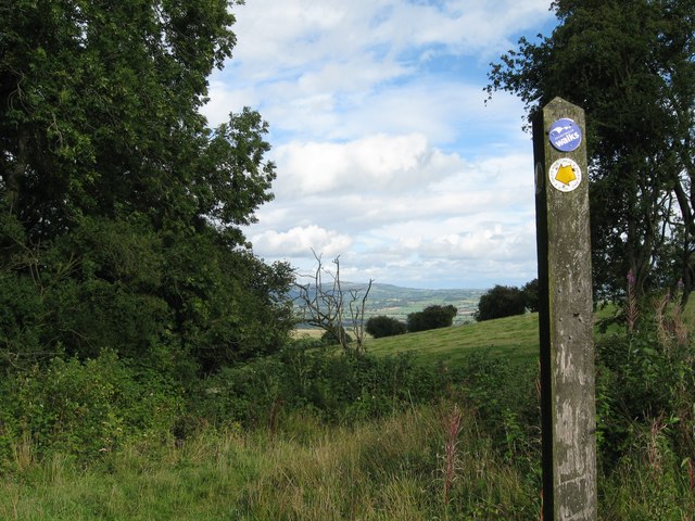
Callow Hill downhill now - Lower Dinchope, Shropshire
This waymark post points you your way down the descending track to return to the lane near Moorwood and on to Craven Arms, or north to explore the villages and countryside along Wenlock Edge. Time taken 3.20 pm BST (British Summer Time).

Creative Commons Licence [Some Rights Reserved]   © Copyright Martin Richard Phelan and licensed for reuse under this Creative Commons Licence.
This photo is linked from: Automatic Clusters: · Lower Dinchope [21] · Wenlock Edge [19] · Pm BST British Summer Time [14] · North [7] ·
1:50,000 Modern Day Landranger(TM) Map © Crown Copyright
+
+
1:50,000 Modern Day Landranger(TM) Map © Crown Copyright
TIP: Click the map for more Large scale mapping
Grid Square
SO4685, 108 images   (more nearby 🔍)
Photographer
Martin Richard Phelan   (more nearby)
Date Taken
Saturday, 28 August, 2010   (more nearby)
Submitted
Monday, 14 March, 2016
Subject Location
OSGB36: geotagged! SO 4647 8519 [10m precision]
WGS84: 52:27.7210N 2:47.3576W
Camera Location
OSGB36: geotagged! SO 4646 8518
View Direction
East-northeast (about 67 degrees)
Clickable map
+
NW N NE
W Go E
SW S SE
Image classification(about): Geograph
This page has been viewed about 43 times
You are not logged in | login | register