2012
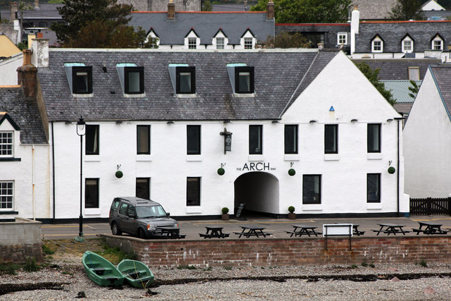
NH1293 : The Arch Inn, 10-11 West Shore Street, Ullapool from the Ullapool ferry
taken 13 years ago, near to Ullapool, Highland, Scotland

The Arch Inn, 10-11 West Shore Street, Ullapool from the Ullapool ferry
The Arch Inn opened in 1973 on the site of one of the first buildings built by the British Fishing Society when Ullapool was being established. Originally built as an inn and store with stabling for fishermen and fish curers. In May 1788 the Society entered into a contract for 6 buildings and had been considering plans for further building when Mackenzie and Morrison from Tanera forwarded plans for a pier, warehouse and inn for a total cost of £1,063. After this arrangement had been made, Morrison's plans were given to Robert Mylne, who redesigned one wing of the inn and made considerable alterations to the plan of the warehouse so Morrison had to persuade the Society to allow more money for him to carry out Mylne's more elaborate ideas. A report early in August, told of Morrison's inn rising quickly under the hands of 15 masons, one wing being nearly finished. In January 1789 Morrison asked to be released from his contract owing to ill-health. After some weeks of uncertainty he agreed to finish the inn, which he did before his death in 1790. They found a new contractor for the warehouse in William Cowie a builder and carpenter from Tain and both warehouse and inn were completed in 1789.