2012
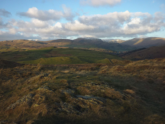
SD4599 : The top of Hugill Fell (273m)
taken 12 years ago, near to Staveley, Cumbria, England

The top of Hugill Fell (273m)
Unlike other summits near here, the highest point of Hugill Fell is completely unadorned, just a few minor outcrops breaking through the rough grasses. The area is now CRoW access land and stiles and gates have been put in to enable a circuit from Reston Scar and east into lower Kentmere to be made. The view north is of the ring of fells around upper Kentmere (L to R): Sallows, Sour Howes (with interloper snowy Red Screes peeking over between), Yoke, High Street, Mardale Ill Bell, Harter Fell and Kentmere Pike.