2014
NS5379 : West Highland Way at Easter Carbeth
taken 11 years ago, near to Netherton, Stirling, Scotland
This is 1 of 4 images, with title West Highland Way at Easter Carbeth in this square

West Highland Way at Easter Carbeth
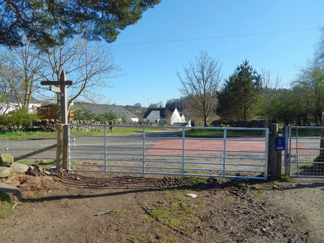
The West Highland Way and the John Muir Way coincide in this area; there is a small purple-and-white marker for the John Muir Way on the upper part of the signpost.
Both routes follow a path southwards up to this gate, where they meet the main road(*). They then turn left, following the road eastwards for a distance of about 300 metres: see NS5379 : West Highland Way at Easter Carbeth, taken beside the same gate. The routes then leave the road again at NS5379 : Ballachalairy Yett, near which point the John Muir Way and the West Highland Way separate: NS5379 : John Muir Way and West Highland Way.
In this view, the buildings of Easter Carbeth Farm can be seen across the road. For a view in the opposite direction, looking across this gate from the other side, see NS5379 : West Highland Way at Easter Carbeth.
(*) At the time of writing, large-scale OS mapping calls this part of the road Ballachalairy Yett. I believe this to be a mistake. Early OS maps employed the name correctly (NS5379 : Ballachalairy Yett), but at some point since then, someone, most likely not knowing that "yett" is Scots for "gate", has misunderstood the name as applying to the road.