2011
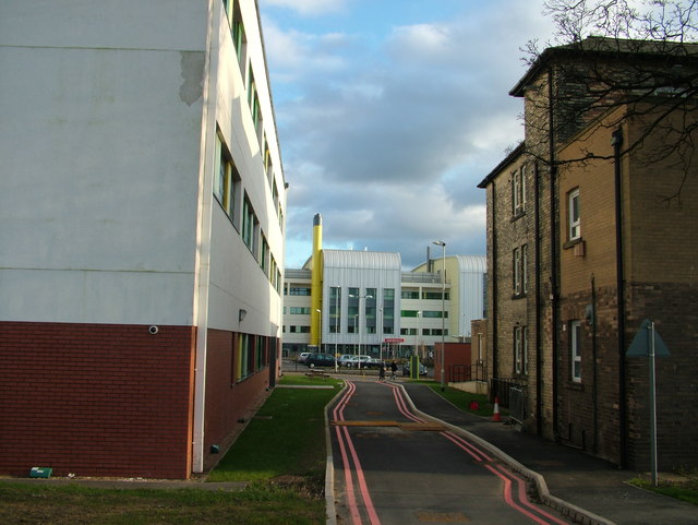
SE3321 : Old and new, Pinderfields Hospital
taken 13 years ago, near to Wakefield, England

Old and new, Pinderfields Hospital
Most of Wakefield's famous Pinderfields Hospital has been demolished and rebuilt in the last few years. Here one old part continues, alongside newer neighbours. The road leads to a car park on the map but in reality now ends at a fence. The photograph was taken from a footpath. Anyone know what double red lines mean?
Behind the photographer is the space actually known as Pinder Field. The ancient word 'pinder' means a person authorised to impound animals, presumably those found straying. Maybe it should have been the prison that was built on this site!
Behind the photographer is the space actually known as Pinder Field. The ancient word 'pinder' means a person authorised to impound animals, presumably those found straying. Maybe it should have been the prison that was built on this site!