| Tapa Tapa linn | ||||
|---|---|---|---|---|
| Municipio | ||||
 | ||||
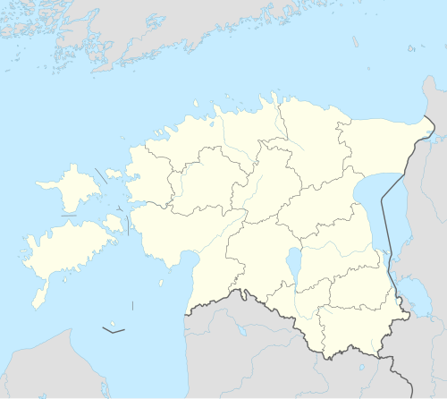 Tapa Localización de Tapa en Estonia | ||||
 Localización de Tapa | ||||
| Coordenadas | 59°15′52″N 25°57′46″E / 59.264444444444, 25.962777777778 | |||
| Entidad | Municipio | |||
| • País | Estonia | |||
| • Condado | Lääne-Viru | |||
| Alcalde | Kuno Rooba | |||
| Superficie | ||||
| • Total | 17.36 km² | |||
| Población (2004) | ||||
| • Total | 6607 hab. | |||
| • Densidad | 316,31 hab/km² | |||
| Código postal | 45106–45109 | |||


Tapa es una ciudad al norte de Estonia a 80 km del sudeste de Tallin.
YouTube Encyclopedic
-
1/3Views:3 20619 342325
-
Tapa Estonia
-
M1A2 Tanks Welcome The Enemies Of Estonia
-
A-10 at Tapa Range, Estonia
Transcription
Geografía
Tapa es uno de los nudos de comunicación más importantes de Estonia. Se puede ir a Tallin por tren y la distancia recorrida es de 77 km, a Tartu 112 km y Narva 133 km.
Población
- 1922 - 2.398
- 1934 - 3.751
- 1959 - 8.001
- 1970 - 10.037
- 1979 - 10.851
- 1989 - 10.439
Ciudades hermanadas
- Desde ???? con Trosa/Suecia
- Desde ???? con Toijala/Finlandia
- Desde 1990/1991 con Preetz (Schleswig-Holstein)/Alemania
- Desde ???? con Cumberland (Maryland)/EE. UU.