| Silandro | ||||
|---|---|---|---|---|
| Municipio | ||||
 Panorama de la Ciudad
| ||||
| ||||
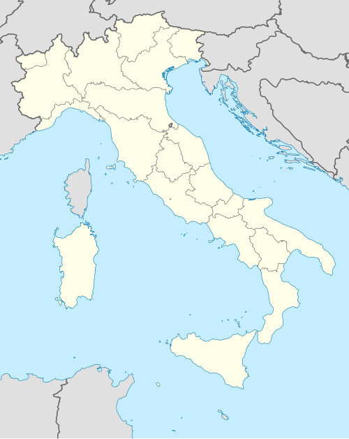 Silandro Localización de Silandro en Italia | ||||
 | ||||
| Coordenadas | 46°37′41″N 10°46′25″E / 46.628069, 10.773477 | |||
| Idioma oficial | Alemán, Italiano | |||
| Entidad | Municipio | |||
| • País | Italia | |||
| • Región |
| |||
| • Provincia |
| |||
| Dirigentes | ||||
| • Alcalde (2015) | Dieter Pinggera | |||
| Fracciones | Corces (Kortsch), Covelano (Göflan), Montemezzodì (Sonnenberg), Montetramontana (Nördersberg), Vezzano (Vetzan) | |||
| Municipios limítrofes | Laces, Lasa, Malles Venosta, Martello, Senales | |||
| Superficie | ||||
| • Total | 115,2 km² | |||
| Altitud | ||||
| • Media | 720 m s. n. m. | |||
| Población (31-07-2009) | ||||
| • Total | 5,983[1] hab. | |||
| • Densidad | 51,9 hab./km² | |||
| Gentilicio | silandresi (Schlanderser) | |||
| Huso horario | CET (UTC +1) | |||
| • en verano | CEST (UTC +2) | |||
| Código postal | 39028[2] | |||
| Prefijo telefónico | 0473 | |||
| Matrícula | BZ | |||
| Código ISTAT | 021093 | |||
| Código catastral | I729[3] | |||
| Fiestas mayores | 12 de septiembre | |||
| Patrono(a) | Santa María | |||
| Sitio web oficial | ||||


Silandro es una localidad y comune italiana de la provincia de Bolzano, región de Trentino-Alto Adigio, con 5.983 habitantes.
YouTube Encyclopedic
-
1/3Views:3 0329 4502 885
-
Silandro - Piccola Grande Italia
-
Silandro Schlanders Modellbahn 2011
-
Schlanders Silandro Latsch Laces Kastelbell Castelbello Tschars Ciares SS38 Südtirol Italien 8.4.15
Transcription
Evolución demográfica
| Gráfica de evolución demográfica de Silandro entre 1861 y 2001 |
|
Fuente ISTAT - elaboración gráfica de Wikipedia |
Referencias
- ↑ Datos proporcionados por el Istituto Nazionale di Statistica. Datos demográficos (2009)
- ↑ Worldpostalcodes.org, código postal n.º 39028.
- ↑ «Codici Catastali». Comuni-italiani.it (en italiano). Consultado el 29 de abril de 2017.
Enlaces externos
Wikimedia Commons alberga una categoría multimedia sobre Silandro.
- Esta obra contiene una traducción derivada de «Silandro» de Wikipedia en italiano, publicada por sus editores bajo la Licencia de documentación libre de GNU y la Licencia Creative Commons Atribución-CompartirIgual 4.0 Internacional.
- Página web oficial de Silandro (en italiano)
Datos: Q494313