| Cimolais | ||
|---|---|---|
| Entidad subnacional | ||
 | ||
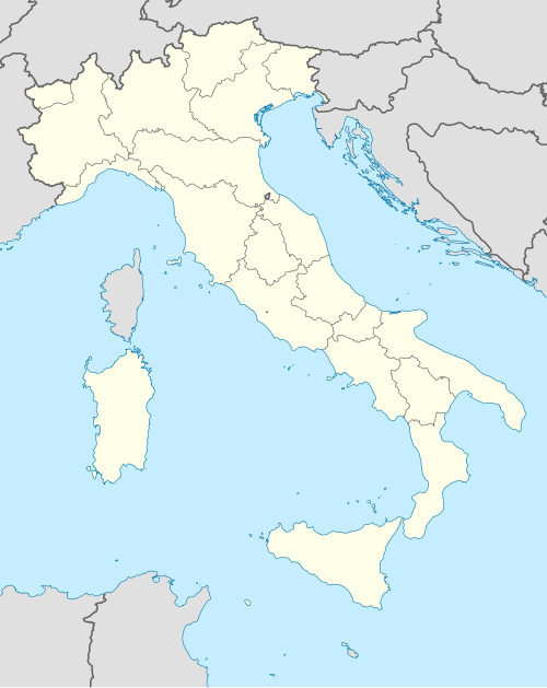 Cimolais Localización de Cimolais en Italia | ||
|
| ||
| Coordenadas | 46°17′00″N 12°26′00″E / 46.283333333333, 12.433333333333 | |
| Capital | Cimolais | |
| Idioma oficial | Italiano | |
| Entidad | Comuna de Italia | |
| • País | Italia | |
| • Región | Friuli-Venecia Julia | |
| • Provincia | Pordenone | |
| Dirigentes | ||
| • Alcalde | Rita Bressa | |
| Fracciones | San Floriano | |
| Municipios limítrofes | Claut, Domegge di Cadore (BL), Erto e Casso, Forni di Sopra (UD), Perarolo di Cadore (BL), Pieve di Cadore (BL) | |
| Superficie | ||
| • Total | 101 km² | |
| Altitud | ||
| • Media | 652 m s. n. m. | |
| Población (31-12-2008) | ||
| • Total | 437[1] hab. | |
| • Densidad | 4,327 hab./km² | |
| Gentilicio | Cimoliani | |
| Huso horario | CET (UTC +1) | |
| • en verano | CEST (UTC +2) | |
| Código postal | 33080[2] | |
| Prefijo telefónico | 0427 | |
| Matrícula | PN | |
| Código ISTAT | 093014 | |
| Código catastral | C699[3] | |
| Sitio web oficial | ||
Cimolais es una localidad y comune italiana de la provincia de Pordenone, región de Friuli-Venecia Julia, con 437 habitantes.
YouTube Encyclopedic
-
1/3Views:5431 253341
-
Tributo a Goio - 12^Montagna di Gusti Cimolais
-
Da Cimolais al Lago di Barcis
-
Cimolais - Alta Valcellina Dolomiti Friulane - car webcam
Transcription
Evolución demográfica
| Gráfica de evolución demográfica de Cimolais entre 1861 y 2001 |
|
Fuente ISTAT - elaboración gráfica de Wikipedia |
Referencias
- ↑ Datos proporcionados por el Istituto Nazionale di Statistica. Datos demográficos (2009)
- ↑ Worldpostalcodes.org, código postal n.º 33080.
- ↑ «Codici Catastali». Comuni-italiani.it (en italiano). Consultado el 29 de abril de 2017.
Enlaces externos
- Esta obra contiene una traducción derivada de «Cimolais» de Wikipedia en italiano, publicada por sus editores bajo la Licencia de documentación libre de GNU y la Licencia Creative Commons Atribución-CompartirIgual 4.0 Internacional.
- Página web oficial de Cimolais (en italiano)