Sint Geertruid
Se-Gietere | |
|---|---|
Village | |
 Half timbered house at Libeek | |
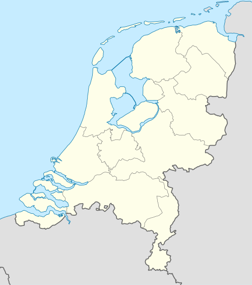 Sint Geertruid Location in the Netherlands  Sint Geertruid Location in the province of Limburg in the Netherlands | |
| Coordinates: 50°47′47″N 5°45′56″E / 50.79639°N 5.76556°E | |
| Country | Netherlands |
| Province | Limburg (Netherlands) |
| Municipality | Eijsden-Margraten |
| Area | |
| • Total | 0.49 km2 (0.19 sq mi) |
| Elevation | 138 m (453 ft) |
| Population (2021)[1] | |
| • Total | 960 |
| • Density | 2,000/km2 (5,100/sq mi) |
| Time zone | UTC+1 (CET) |
| • Summer (DST) | UTC+2 (CEST) |
| Postal code | 6265[1] |
| Dialing code | 043 |
Sint Geertruid (Limburgish: Se-Gietere) is a village in the Dutch province of Limburg. It is located the municipality of Eijsden-Margraten.
YouTube Encyclopedic
-
1/1Views:2 481
-
Slag om Sint Geertruid
Transcription
History
The village was first mentioned in 1178 as "in monte". The current name is reference to Gertrude of Nivelles. In the middle of the 13th an outpost of the Cistercian monastery Hocht was founded and the area was cultivated.[3] Sint Geertruid became a parish in 1222.[4]
The Catholic St Gertrudis Church is a three-aisled church with 11th century elements. The chalk stone tower was built around 1300. It was modified and extended several times throughout its history and restored between 1956 and 1957.[4]
Sint Geertruid was home to 271 people in 1840.[5] It was a separate municipality until 1982, when it was merged with Margraten. The municipality was formed in 1828 from parts of the municipalities of Breust and Eijsden.[6] In 2011, it became part of the municipality of Eijsden-Margraten.[5]
Part of the Sint Geertruid population centre in the Eijsden-Margraten municipality are also the separately situated townships of: Bruisterbosch, Herkenrade, Libeek and Moerslag.[5]
A significant part of the "Savelsbos" hill side forest[7] is situated in the outlying area of Sint Geertruid.
Gallery
-
Sint Geertruid-Heerkuil
-
St Gertrudis Church
-
Village view back in 1962
-
Liberation monument


References
- ^ a b c "Kerncijfers wijken en buurten 2021". Central Bureau of Statistics. Retrieved 24 April 2022.
- ^ "Postcodetool for 6265AA". Actueel Hoogtebestand Nederland (in Dutch). Het Waterschapshuis. Retrieved 24 April 2022.
- ^ "Sint Geertruid - (geografische naam)". Etymologiebank (in Dutch). Retrieved 24 April 2022.
- ^ a b Sabine Broekhoven, & Ronald Stenvert (2003). Sint Geertruid (in Dutch). Zwolle: Waanders. ISBN 90 400 9623 6. Retrieved 24 April 2022.
- ^ a b c "Sint Geertruid". Plaatsengids (in Dutch). Retrieved 24 April 2022.
- ^ Ad van der Meer and Onno Boonstra, Repertorium van Nederlandse gemeenten, KNAW, 2011.
- ^ NlWp article Savelsbos
External links
Media related to Sint Geertruid at Wikimedia Commons