Shikohabad | |
|---|---|
City | |
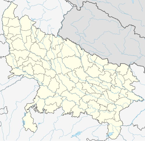 Shikohabad Location in Uttar Pradesh, India | |
| Coordinates: 27°06′N 78°36′E / 27.1°N 78.6°E | |
| Country | |
| State | Uttar Pradesh |
| Founded by | Dara-Shikoh |
| Named for | Dara-Shikoh (Shikoh-abad) |
| Government | |
| • Type | Democratic |
| Area | |
| • Total | 750.11 km2 (289.62 sq mi) |
| • Water | 30 km2 (12 sq mi) |
| • Rank | 4 |
| Elevation | 163 m (535 ft) |
| Population (2011) | |
| • Total | 107,404 |
| • Rank | 3 |
| • Density | 140/km2 (370/sq mi) |
| Languages | |
| • Official | Hindi |
| Time zone | UTC+5:30 (IST) |
| PIN | 283135 |
| Telephone code | +91-5676 |
| Vehicle registration | UP-83 |
Shikohabad is a city and a municipal board in the Firozabad district of the Indian state of Uttar Pradesh.
Bateshwar, a famous Hindu pilgrimage centre dedicated to Shiva, and also a famous Jain Tirth on the banks of River Yamuna, is situated 22 kilometres south of Shikohabad.
The city lies in the cultural region of Braj and the local language is Brajbhasha.
YouTube Encyclopedic
-
1/2Views:29 54223 983
-
शिकोहाबाद एक नजर में, Shikohabad, Bateshwar, Paliwal college, hind lamps, shree ram resort,firojabad
-
Shikohabad Junction , Firozabad
Transcription
Geography
Shikohabad is located at 27°06′N 78°36′E / 27.1°N 78.6°E.[1] It has an average elevation of 163 m (535 ft). The river Sirsa flows between the main city and pass out the railway station.
History

The old name of Shikohabad was Mohammad Mah (the name still exists as Mohmmad mah near Tahsil and Kotwali). Shikohabad is named after Dara Shikoh, the eldest brother of Emperor Aurangzeb. In its present form, the town has hardly any recognisable evidence of that era. Shikohabad was ruled under the estate of Labhowa from 1794 to 1880. The Rajas of Labhowa of Jadon d, later Jhala Dynasty were well known to the Mughal rulers and their generals and along with them controlled over 100 square kilometres (39 sq mi) of this area.[2] According to British historian Matthew Atmore Sherring Phatak Ahirs alone have 21 villages in Shikohabad.[3][4][5]
Accessibility
Shikohabad is well connected with other cities by roadways as well as railways. This city is connects with cities like Agra, Firozabad, Mathura, New Delhi, Noida, Etawah, Kanpur, Allahabad, Varanasi, Patna, Kolkata by National Highway 19 (formerly known as NH-2) and it also connects through Agra Lucknow Expressway through which is connected to Agra, Lucknow, Kanpur Mainpuri, Etawah. It is 10 km (6.2 mi) from district headquarter. It is 257 km (160 mi) from New Delhi and 61 km (38 mi) from Agra. Shikohabad Railway Station is located on Delhi Mugalsarai main line of North Central Railway having direct connection to Delhi, Kolkata, Mumbai, Agra, Etawah, Kanpur, Jaipur, Lucknow, Mainpuri and Farrukhabad. It is also well connected by road with all major cities of the state and region. It is further connected to Etah via SH-85 and to Mainpuri via SH-84.
Demographics
As per provisional data of 2011 census, Shikohabad had a population of 107,300, out of which males were 50,107 and females were 50,283. The literacy rate was 81.68 per cent.[6]
References
- ^ "Maps, Weather, and Airports for Shikohabad, India". fallingrain.com.
- ^ "Crumbling Yadav Bastion". OPEN Magazine.
- ^ Hindu Tribes and Castes, Volume 1 page 336
- ^ Matthew Atmore Sherring (1872). Hindu Tribes and Castes, Volume 1. Thacker, Spink & Company. pp. 336.
Ahirs.
- ^ Top Famous Temple of Shikohabad - https://www.bhaktibharat.com/en/list/top-famous-temple-of-shikohabad
- ^ "Urban Agglomerations/Cities having population 1 lakh and above" (PDF). Provisional Population Totals, Census of India 2011. Retrieved 7 July 2012.