Magyarlukafa | |
|---|---|
 Historic house | |
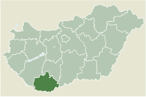 Location of Baranya county in Hungary | |
 Magyarlukafa Location of Magyarlukafa | |
| Coordinates: 46°10′11″N 17°45′24″E / 46.16980°N 17.75655°E | |
| Country | |
| County | Baranya |
| Area | |
| • Total | 12.97 km2 (5.01 sq mi) |
| Population (2004) | |
| • Total | 87 |
| • Density | 6.7/km2 (17/sq mi) |
| Time zone | UTC+1 (CET) |
| • Summer (DST) | UTC+2 (CEST) |
| Postal code | 7925 |
| Area code | 73 |
| Website | www |
Magyarlukafa (Croatian: Luka) is a village in Baranya county, Hungary.
YouTube Encyclopedic
-
1/3Views:5387111 130
-
XXXI. Vendel napi búcsú - Magyarlukafa (2015. 10. 18.)
-
Magyarlukafa
-
Magyarlukafa altes Handwerk Drechsler 2009
Transcription
External links
- Street map (in Hungarian)


| International | |
|---|---|
| National | |
This Baranya County–related article is a stub. You can help Wikipedia by expanding it. |