Mauerstetten | |
|---|---|
 Mauerstetten seen from the east | |
 Coat of arms | |
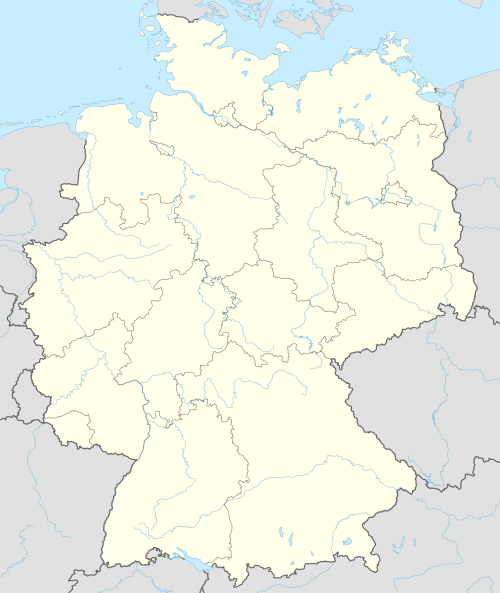
Location of Mauerstetten within Ostallgäu district  | |
 Mauerstetten  Mauerstetten | |
| Coordinates: 47°53′N 10°40′E / 47.883°N 10.667°E | |
| Country | Germany |
| State | Bavaria |
| Admin. region | Schwaben |
| District | Ostallgäu |
| Government | |
| • Mayor (2020–26) | Armin Holderried[1] |
| Area | |
| • Total | 16.55 km2 (6.39 sq mi) |
| Elevation | 716 m (2,349 ft) |
| Population (2022-12-31)[2] | |
| • Total | 3,249 |
| • Density | 200/km2 (510/sq mi) |
| Time zone | UTC+01:00 (CET) |
| • Summer (DST) | UTC+02:00 (CEST) |
| Postal codes | 87665 |
| Dialling codes | 08341 |
| Vehicle registration | OAL |
| Website | www.mauerstetten.de |
Mauerstetten is a municipality in the district of Ostallgäu in the southwest of Bavaria in Germany.
Its foundations dates back to the early 9th century, and its name actually means "place of walls", due to ruins of supposedly Roman origin found there. Currently, Mauerstetten has about 2,800 inhabitants living in the four parts of the community: Mauerstetten itself, Steinholz, Hausen and Frankenried. Agriculture still plays a large role in the village, but some modest industry is to be found there as well.
The village has a primary school, a kindergarten, two banks (Sparkasse and RaiBa), a small grocery store, a bakery, and a small post office. In the center of Mauerstetten stands the church St. Vitus.
Mauerstetten is also known for its sport club which includes football, volleyball, tennis, etc.[3]
YouTube Encyclopedic
-
1/2Views:1 133470
-
Volleyball-TSV Deggendorf gegen SV Mauerstetten
-
Jüdischer Friedhof Steinholz Mauerstetten bei Kaufbeuren
Transcription
References
- ^ Liste der ersten Bürgermeister/Oberbürgermeister in kreisangehörigen Gemeinden, Bayerisches Landesamt für Statistik, 15 July 2021.
- ^ Genesis Online-Datenbank des Bayerischen Landesamtes für Statistik Tabelle 12411-003r Fortschreibung des Bevölkerungsstandes: Gemeinden, Stichtag (Einwohnerzahlen auf Grundlage des Zensus 2011) (Hilfe dazu).
- ^ "Unser Verein : Sportverein Mauerstetten". www.sv-mauerstetten.de. Retrieved 2024-05-19.
External links
Towns and municipalities in Ostallgäu | ||
|---|---|---|
|  | |
| International | |
|---|---|
| National | |
This Ostallgäu location article is a stub. You can help Wikipedia by expanding it. |