
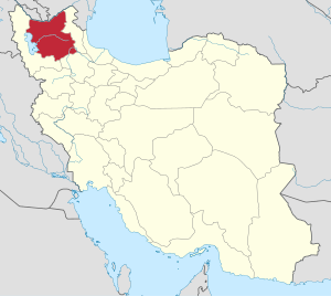
Kalian (Persian: كليان)[a] is a village in, and the capital of, Sain Rural District of the Central District of Sarab County, East Azerbaijan province, Iran.[4]
Demographics
Population
At the time of the 2006 National Census, the village's population was 401 in 79 households.[5] The following census in 2011 counted 454 people in 108 households.[6] The 2016 census measured the population of the village as 423 people in 106 households. It was the most populous village in its rural district.[2]
See also
Notes
References
- ^ OpenStreetMap contributors (4 April 2023). "Kalian, Sarab County" (Map). OpenStreetMap (in Persian). Retrieved 4 April 2023.
- ^ a b "Census of the Islamic Republic of Iran, 1395 (2016)". AMAR (in Persian). The Statistical Center of Iran. p. 03. Archived from the original (Excel) on 13 November 2020. Retrieved 19 December 2022.
- ^ Kalian can be found at GEOnet Names Server, at this link, by opening the Advanced Search box, entering "-3803929" in the "Unique Feature Id" form, and clicking on "Search Database".
- ^ Mousavi, Mirhossein (2 February 1366). "Creation and organization of seven rural districts including villages, farms and places in Sarab County under East Azerbaijan province". Islamic Parliament Research Center (in Persian). Ministry of Interior, Council of Ministers. Archived from the original on 8 January 2016. Retrieved 6 December 2023.
- ^ "Census of the Islamic Republic of Iran, 1385 (2006)". AMAR (in Persian). The Statistical Center of Iran. p. 03. Archived from the original (Excel) on 20 September 2011. Retrieved 25 September 2022.
- ^ "Census of the Islamic Republic of Iran, 1390 (2011)". Syracuse University (in Persian). The Statistical Center of Iran. p. 03. Archived from the original (Excel) on 16 January 2023. Retrieved 19 December 2022.
| Capital | |||||||||||||||||||||||||||||||
|---|---|---|---|---|---|---|---|---|---|---|---|---|---|---|---|---|---|---|---|---|---|---|---|---|---|---|---|---|---|---|---|
| Districts |
| ||||||||||||||||||||||||||||||
This Sarab County location article is a stub. You can help Wikipedia by expanding it. |