De Krim | |
|---|---|
 The church of De Krim | |
 De Krim Location in province of Overijssel in the Netherlands 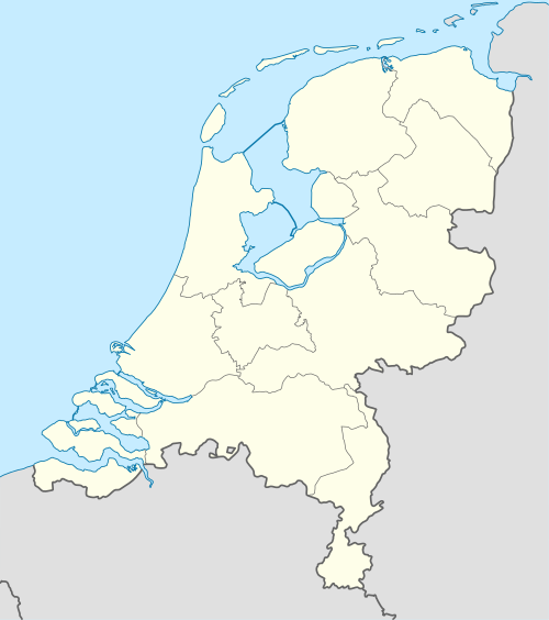 De Krim De Krim (Netherlands) | |
| Coordinates: 52°38′55″N 6°37′06″E / 52.6487°N 6.6183°E | |
| Country | Netherlands |
| Province | Overijssel |
| Municipality | Hardenberg |
| Area | |
| • Total | 19.09 km2 (7.37 sq mi) |
| Elevation | 10 m (30 ft) |
| Population (2021)[1] | |
| • Total | 2,190 |
| • Density | 110/km2 (300/sq mi) |
| Time zone | UTC+1 (CET) |
| • Summer (DST) | UTC+2 (CEST) |
| Postal code | 7781 & 7782[1] |
| Dialing code | 0524 |
De Krim is a village in the municipality of Hardenberg part of the province of Overijssel, Netherlands. The village started as a peat excavation village.
History
In 1832, the Lutterhoofdwijk canal was dug as a side canal of the Dedemsvaart to excavate the peat in the area, and a settlement developed along the canal.[3]
On 17 October 1857, it was first mentioned as De Krim (Dutch for Crimea).[4] That year, there was a riot among the peat workers which was suppressed by the Royal Marechaussee; the heavy-handedness of the police action was compared to the Crimean War.[5][3] De Krim is a popular place name, and occurs 17 times in the Netherlands,[6] including the nearby Nieuwe Krim which begins with Nieuw (New) to distinguish from this village.[7]
In 1862, De Krim obtained an official concession to excavate the peat.[8] From 1890 onwards, the economy was based on potatoes, and in 1906, a potato starch factory opened. In 1911, the factory closed, but reopened as a cooperative and was renamed Onder Ons (Between Us).[3] The factory closed in 1990.[8] In 2004, the former rinse water basin of the factory was turned into a nature area and bird reserve.[9] A watchtower has been constructed for the birdwatchers.[10]
Up to 2000, the main settlement was part of the municipality of Gramsbergen, however the remainder was part of Hardenberg. On 1 January 2001, Gramsbergen was merged into Hardenberg.[8]
Notable people
- Hermien Timmerman (1943–2003), Schlager singer part of the duo Gert en Hermien.[11]
References
- ^ a b c "Kerncijfers wijken en buurten 2021". Central Bureau of Statistics. Retrieved 14 March 2022.
Postal code 7781 is the village proper
- ^ "Postcodetool for 7781PA". Actueel Hoogtebestand Nederland (in Dutch). Het Waterschapshuis. Retrieved 14 March 2022.
- ^ a b c Ronald Stenvert & Jan ten Hove (1998). "De Krim" (in Dutch). Zwolle: Waanders. p. 80. ISBN 90 400 9200 1. Retrieved 14 March 2022.
- ^ "Historische gebeurtenissen". Hardenberg (in Dutch). Archived from the original on 9 October 2007. Retrieved 14 March 2022.
- ^ "De Krim - (geografische naam)". Etymologiebank (in Dutch). Retrieved 14 March 2022.
- ^ Rob Rentenaar (1990). "Groeten van Elders". Naarden: Strengholt. p. 23. ISBN 90-6010-696-2.
- ^ "Nieuwe Krim - (geografische naam)". Etymologiebank (in Dutch). Retrieved 14 March 2022.
- ^ a b c "De Krim". Plaatsengids (in Dutch). Retrieved 14 March 2022.
- ^ "De Krim(p): vloeivelden". Landschap Overwijssel (in Dutch). Retrieved 14 March 2022.
- ^ "De Krim - Vloeivelden De Krim - Uitkijktoren". Vogelkijkhut (in Dutch). Retrieved 14 March 2022.
- ^ "Hermien van der Weide (1943-2003)". Wie is Wie in Overijssel (in Dutch). Retrieved 14 March 2022.